


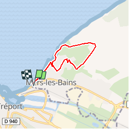

10,7 km | 14,4 km-effort

Utilisateur


Application GPS de randonnée GRATUITE
 SityTrail
IGN / Instituts géographiques
SityTrail World
Le monde est à vous
Randonnée Marche de 5 km à découvrir à Hauts-de-France, Somme, Mers-les-Bains. Cette randonnée est proposée par tracegps.
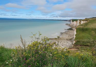
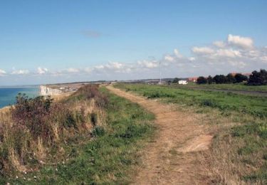
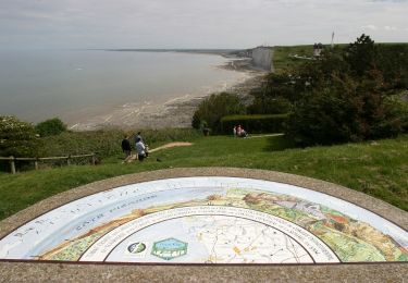
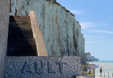
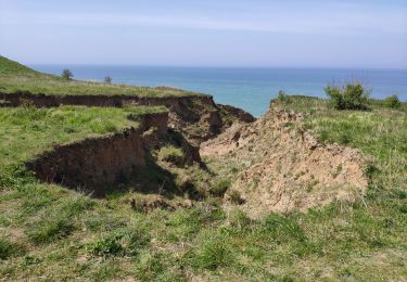
Au départ de l’une des trois «villes soeurs» , découvrir le grandiose panorama offert par cette muraille de craie tombant à pic dans la mer. Pour télécharger la fiche du circuit en format pdf. Partez à la découverte de la Côte Picarde et de la Baie de Somme à travers 38 promenades et randonnées pédestres.

Marche
Marche
Marche
Marche
Marche
Marche
Vélo de route
Marche
Marche
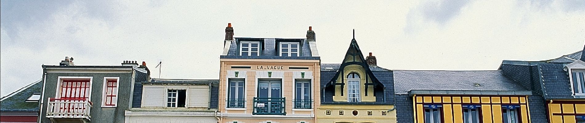
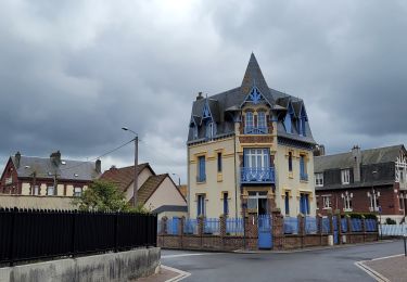
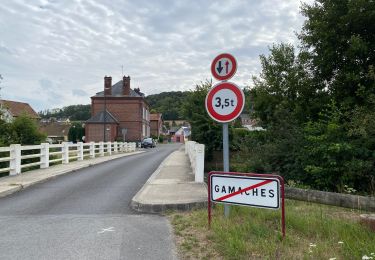
mer les bains