


8,9 km | 10,3 km-effort


Utilisateur


Application GPS de randonnée GRATUITE
 SityTrail
IGN / Instituts géographiques
SityTrail World
Le monde est à vous
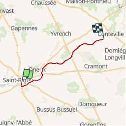
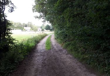
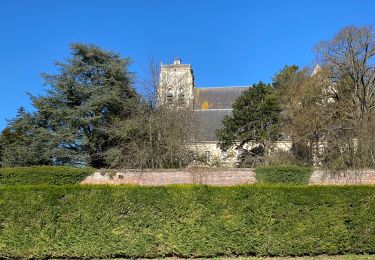
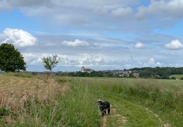
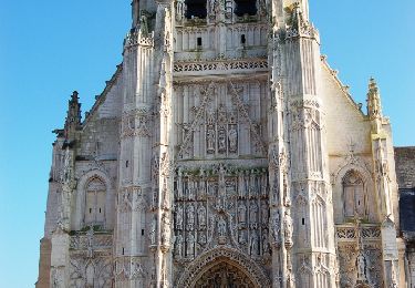
Randonnée Marche de 10,7 km à découvrir à Hauts-de-France, Somme, Saint-Riquier. Cette randonnée est proposée par tracegps.
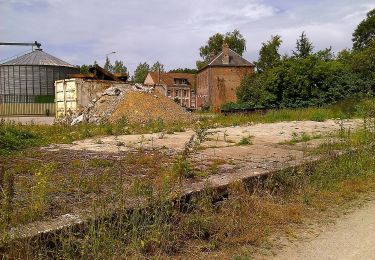
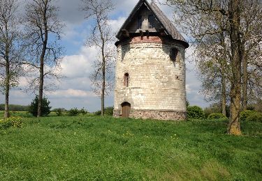
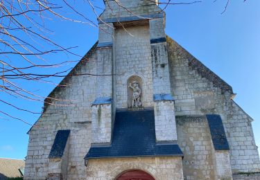
De cette ancienne voie de chemin de fer, les rares traverses qui demeurent ne servent plus que de bancs ! Pour télécharger la fiche du circuit en format pdf. Partez à la découverte de la Côte Picarde et de la Baie de Somme à travers 38 promenades et randonnées pédestres.
 - Photo 1")
A pied
Marche
Marche nordique
Marche
Autre activité
Marche
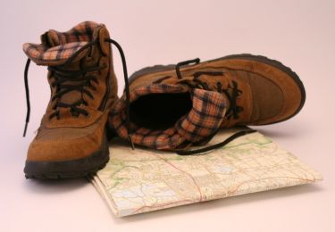
Marche
Marche
Marche nordique