


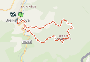

14,5 km | 26 km-effort


Utilisateur


Application GPS de randonnée GRATUITE
 SityTrail
IGN / Instituts géographiques
SityTrail World
Le monde est à vous
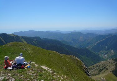
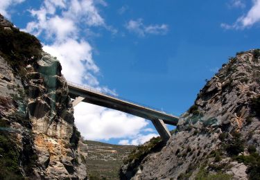
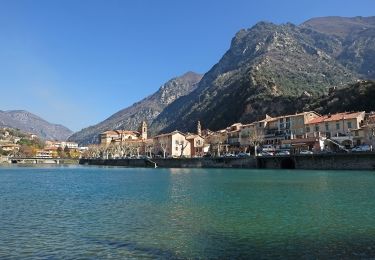
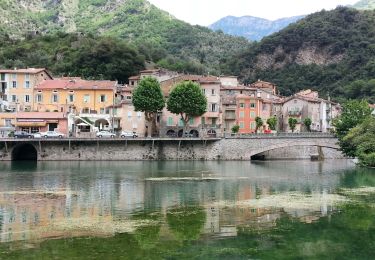
Randonnée Autre activité de 12 km à découvrir à Provence-Alpes-Côte d'Azur, Alpes-Maritimes, Breil-sur-Roya. Cette randonnée est proposée par GrouGary.
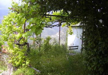
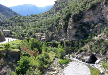
Partant du village, belle boucle dans les anciens hameaux et restanques. Une attention sur le retour car une bifurcation a droite est peu visible...
A pied
A pied
A pied
A pied

A pied

Marche

Marche
Marche
Marche