


10,1 km | 12,6 km-effort

Utilisateur


Application GPS de randonnée GRATUITE
 SityTrail
IGN / Instituts géographiques
SityTrail World
Le monde est à vous
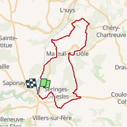
Randonnée V.T.T. de 29 km à découvrir à Hauts-de-France, Aisne, Fère-en-Tardenois. Cette randonnée est proposée par tracegps.
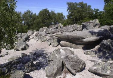
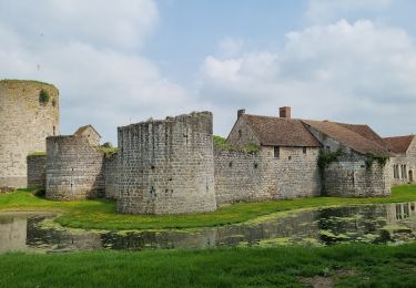
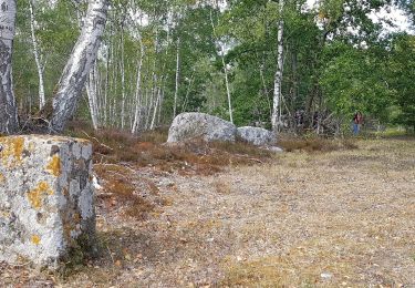
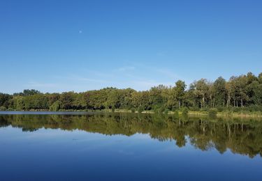
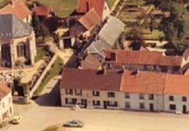
Découverte physique de la campagne autour de Fère-en-Tardenois, avec ses bois et ses châteaux : celui de Fère, bâti au XIIIe siècle, comporte sept tours, celui de Nesles, de la même époque, dresse encore son donjon aux murs épais de 13 métres. Attention : par temps humide, la portion entre Nesles et Seringes-et-Nesles (22 à 25) est difficilement praticable. Toutes les infos sont ICI


Marche
Marche
Marche

Marche
Marche
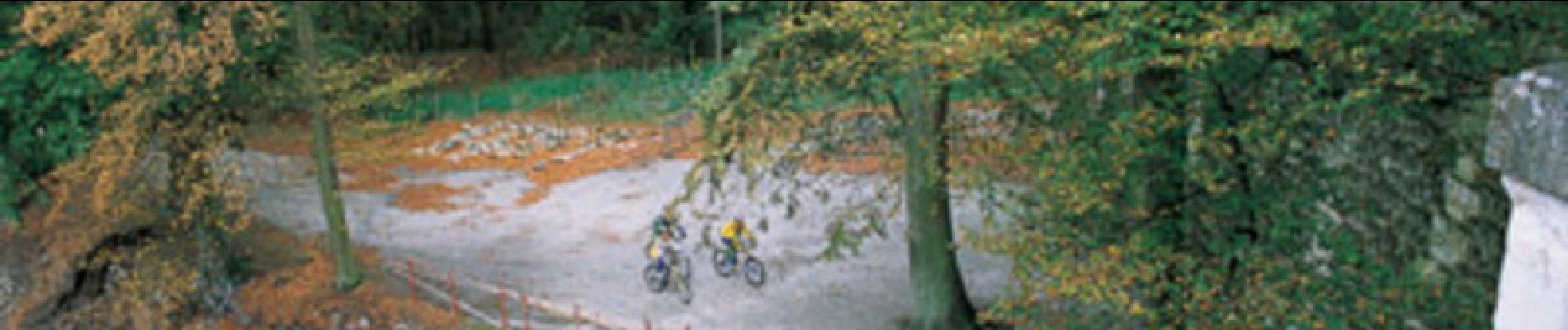
V.T.T.

Marche
Marche
Marche