


13,8 km | 16,8 km-effort

Utilisateur


Application GPS de randonnée GRATUITE
 SityTrail
IGN / Instituts géographiques
SityTrail World
Le monde est à vous
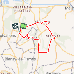
Randonnée Marche de 11,1 km à découvrir à Hauts-de-France, Aisne, Les Septvallons. Cette randonnée est proposée par tracegps.
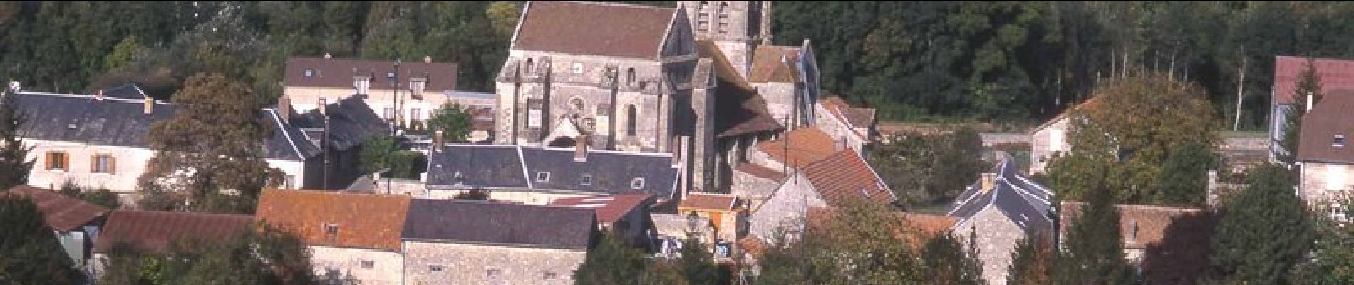
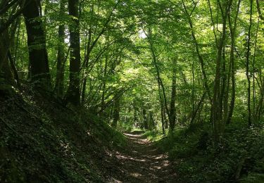
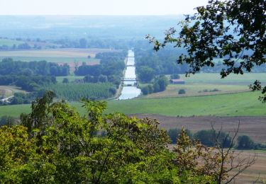
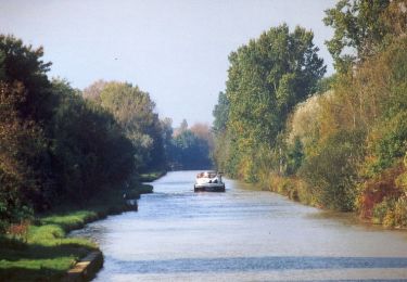
De plateau en gorge boisée et de vallée en plateau couvert de belles cultures, un circuit tout en montées et en descentes, qui offre de vastes panoramas, entre cinq villages riches de leur église et de leurs creuttes, ces curieux habitats troglodytiques. Toutes les infos sont ICI


Marche
Marche
Marche
Marche
Marche
V.T.T.
Marche
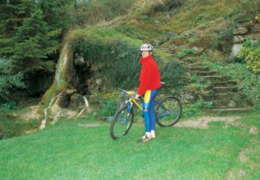
V.T.T.
Marche