


5,3 km | 6,2 km-effort

Utilisateur


Application GPS de randonnée GRATUITE
 SityTrail
IGN / Instituts géographiques
SityTrail World
Le monde est à vous
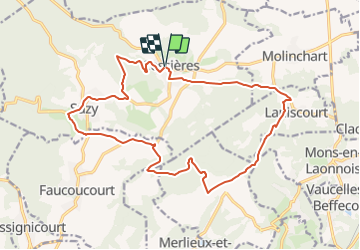
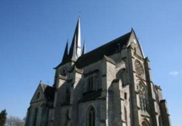
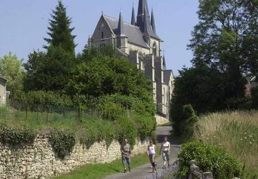
Randonnée Marche de 17,6 km à découvrir à Hauts-de-France, Aisne, Cessières-Suzy. Cette randonnée est proposée par tracegps.
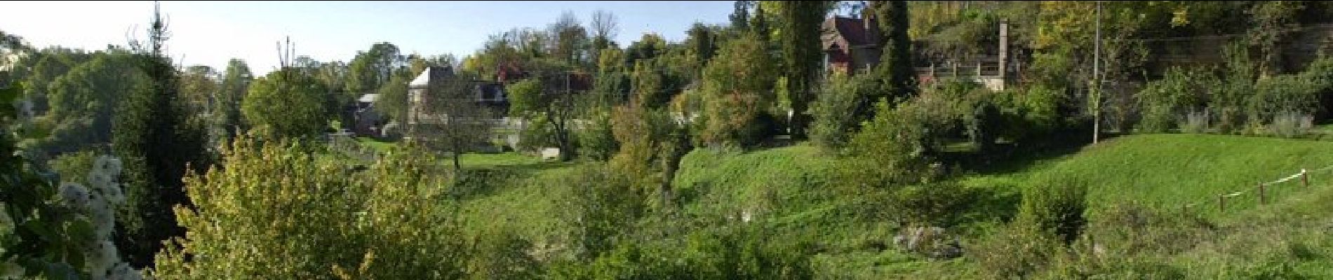
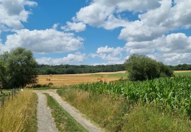
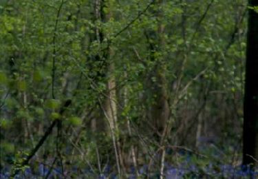
Ce circuit de pleine nature multiplie les découvertes dans un paysage de sous-bois et de marais, il permet de belles échappées visuelles sur la campagne laonnoise. Toutes les infos sont ICI


Marche
Marche
Marche
Marche
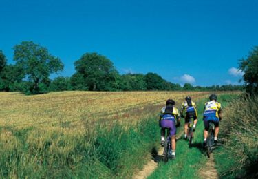
V.T.T.
Marche
Marche
Marche

Marche