


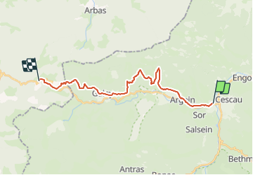

15 km | 26 km-effort

Utilisateur


Application GPS de randonnée GRATUITE
 SityTrail
IGN / Instituts géographiques
SityTrail World
Le monde est à vous
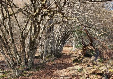
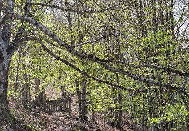
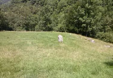
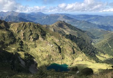
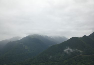
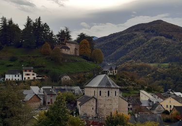
Randonnée Cheval de 22 km à découvrir à Occitanie, Ariège, Audressein. Cette randonnée est proposée par tracegps.
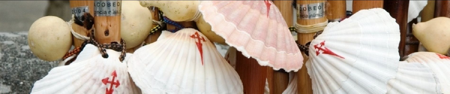
Neuvième et dernière étape des Chemins de St Jacques. D’autres infos sur Les Chemins de Saint-Jacques de Compostelle . Balade proposée par le Bureau des Guides Équestres Transpyrénéens

Marche
Marche
Marche
Marche

Marche
Marche
Marche
A pied
Marche