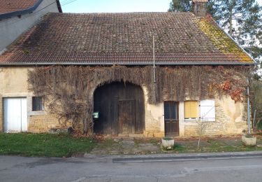
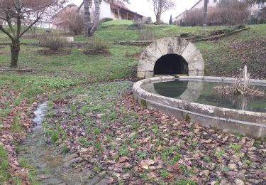
10,4 km | 12,6 km-effort
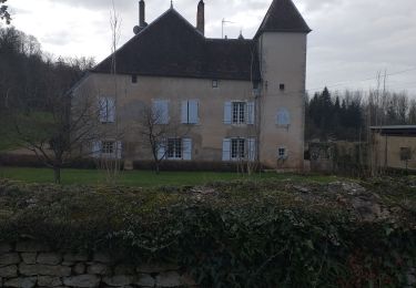
Abbaye Bellefontaine, Noironte
eltonnermou
Utilisateur
Longueur
8,8 km
Altitude max
261 m
Dénivelé positif
137 m
Km-Effort
10,6 km
Altitude min
207 m
Dénivelé négatif
136 m
Boucle
Oui
Date de création :
2019-05-07 19:22:21.217
Dernière modification :
2019-05-07 19:22:21.217
1h17
Difficulté : Très facile
Application GPS de randonnée GRATUITE
À propos
Randonnée Marche de 8,8 km à découvrir à Bourgogne-Franche-Comté, Doubs, Noironte. Cette randonnée est proposée par eltonnermou.
Description
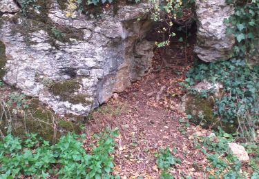
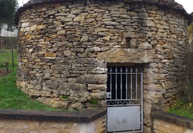
pas de balisage, pieds propres. route forestière, traversée de villages.
Localisation
Pays :
France
Région :
Bourgogne-Franche-Comté
Département/Province :
Doubs
Commune :
Noironte
Localité :
Unknown
Départ:(Dec)
Départ:(UTM)
717604 ; 5239477 (31T) N.
Commentaires
Randonnées à proximité
serre les sapins la ménère
Marche
Très facile
(1)
Serre-les-Sapins,
Bourgogne-Franche-Comté,
Doubs,
France
1h 48min
Oui
audeux classik 30
V.T.T.
Très facile
(2)
Audeux,
Bourgogne-Franche-Comté,
Doubs,
France
29 km | 36 km-effort
1h 15min
Oui
Pouilley les vignes
Marche
Très facile
Pouilley-les-Vignes,
Bourgogne-Franche-Comté,
Doubs,
France
11,6 km | 15,1 km-effort
3h 25min
Oui
chemin des vignes
Marche
Difficile
Chemaudin et Vaux,
Bourgogne-Franche-Comté,
Doubs,
France
12,3 km | 14,5 km-effort
3h 18min
Oui
serre les sapins via pirey
Marche
Facile
(1)
Serre-les-Sapins,
Bourgogne-Franche-Comté,
Doubs,
France
14 km | 17,7 km-effort
2h 26min
Oui
chaucenne long
Marche
Moyen
Chaucenne,
Bourgogne-Franche-Comté,
Doubs,
France
22 km | 25 km-effort
3h 44min
Oui
chaucen..ne perd rien
Marche
Facile
(1)
Chaucenne,
Bourgogne-Franche-Comté,
Doubs,
France
13,9 km | 16,8 km-effort
3h 49min
Oui
Placeý
Marche
Facile
Placey,
Bourgogne-Franche-Comté,
Doubs,
France
13,5 km | 17,4 km-effort
3h 57min
Oui
corcondray
Marche
Moyen
Corcondray,
Bourgogne-Franche-Comté,
Doubs,
France
28 km | 34 km-effort
4h 23min
Oui