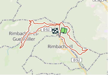

7,4 km | 9,6 km-effort


Utilisateur


Application GPS de randonnée GRATUITE
 SityTrail
IGN / Instituts géographiques
SityTrail World
Le monde est à vous
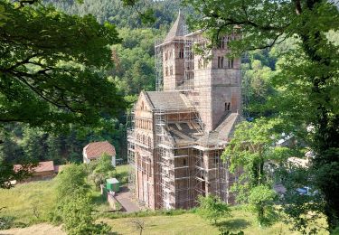
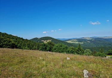
Randonnée Marche de 9,8 km à découvrir à Grand Est, Haut-Rhin, Rimbachzell. Cette randonnée est proposée par patrickbeyrath.
Rimbachzell-Bildstoeckle-Col de Peternit-Munsteraeckerle-Restaurant La Fontaine à Rimbach et retour par Col de Peternit-Rimbachzell

A pied

V.T.T.

Marche

Marche

Marche

Marche

Marche
Marche