


8,5 km | 10,6 km-effort

Utilisateur


Application GPS de randonnée GRATUITE
 SityTrail
IGN / Instituts géographiques
SityTrail World
Le monde est à vous
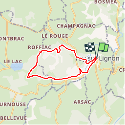
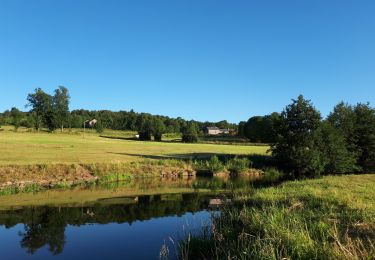
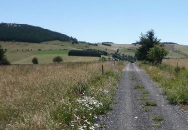
Randonnée V.T.T. de 11,3 km à découvrir à Auvergne-Rhône-Alpes, Haute-Loire, Fay-sur-Lignon. Cette randonnée est proposée par tracegps.
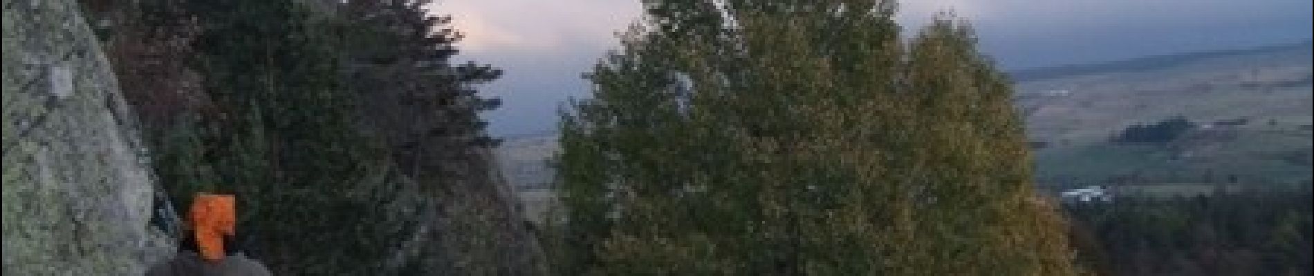
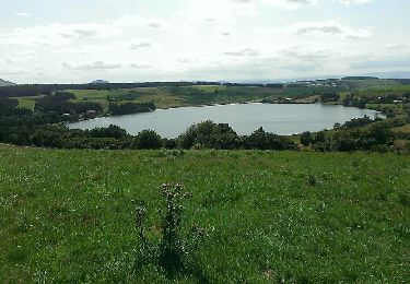
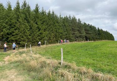
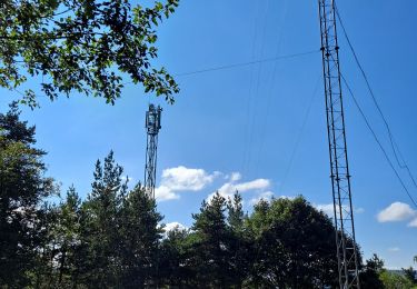
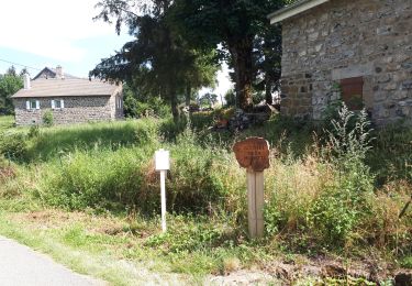
Site VTT FFC du Mézenc et de la Loire sauvage - Circuit n° 09 - Détour en sous bois à travers les Roches. Circuit officiel labellisé par la Fédération Française de Cyclisme. Une balade en forêt… c’est l’idéal ! Admirez de nombreuses fleurs protégées, et laissez-vous séduire par l’ambiance forestière des Roches. Les Roches est l’un des sites d’escalade privilégiée de club locaux. Débutants ou confirmés s’y retrouvent pour faire sonner la phonolite.


Marche

Vélo

Marche
Marche
Marche
Marche
Marche
Marche
Cheval