


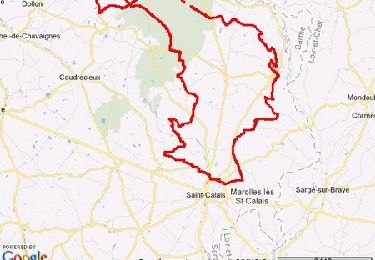
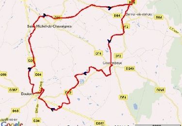
71 km | 84 km-effort

Utilisateur


Application GPS de randonnée GRATUITE
 SityTrail
IGN / Instituts géographiques
SityTrail World
Le monde est à vous
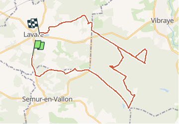
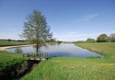
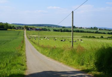
Randonnée V.T.T. de 22 km à découvrir à Pays de la Loire, Sarthe, Lavaré. Cette randonnée est proposée par tracegps.
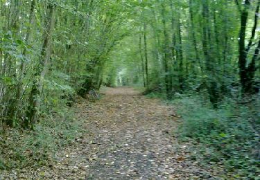
Parcours assez facile, peu de dénivelé. Je vais essayer de vous faire partager en plusieurs étapes tous les chemins qu'il y a dans la foret de Vibraye !

V.T.T.
V.T.T.
Marche
V.T.T.
V.T.T.

V.T.T.

Marche
V.T.T.
V.T.T.