


8 km | 16,3 km-effort

Utilisateur


Application GPS de randonnée GRATUITE
 SityTrail
IGN / Instituts géographiques
SityTrail World
Le monde est à vous
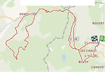
Randonnée V.T.T. de 17,7 km à découvrir à Auvergne-Rhône-Alpes, Haute-Savoie, Taninges. Cette randonnée est proposée par tracegps.
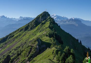
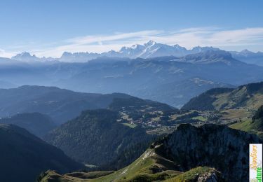
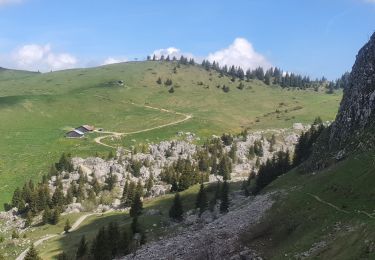
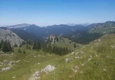
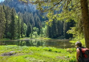
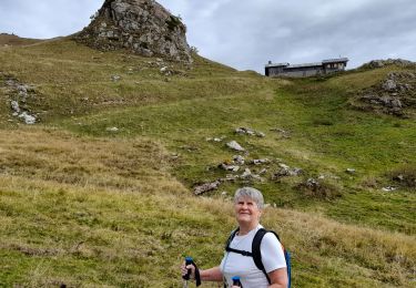
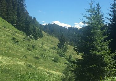
Partez à la découverte du domaine de Praz-de-Lys Sommand. Au départ du centre de la station de Praz-de-Lys, après avoir passé le col de catégorie 1 vous redescendrez vers le lac de Sommand, pour remonter via la forêt d'Ima, jusqu'aux Plâtières ( zone d'envol des parapentistes). De là, soufflez et admirez la vue sur la vallée du Giffre, avant de redescendre par les pistes de ski vers le lac de la station. Au sommet du col de Sommand , bifurquez vers le chalet de Véran puis l'auberge "du Lys blanc" au pied de la voie romaine pour rejoindre la station de départ.


Marche
Marche
Marche
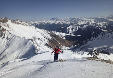
Ski de randonnée

Marche
Marche
Marche
Marche
Marche