


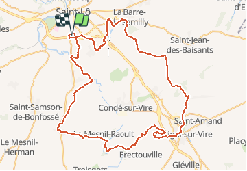

44 km | 52 km-effort


Utilisateur


Application GPS de randonnée GRATUITE
 SityTrail
IGN / Instituts géographiques
SityTrail World
Le monde est à vous
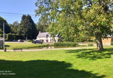
Randonnée V.T.T. de 45 km à découvrir à Normandie, Manche, Saint-Lô. Cette randonnée est proposée par tracegps.
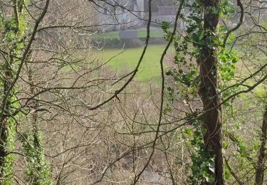
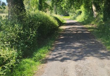
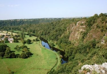
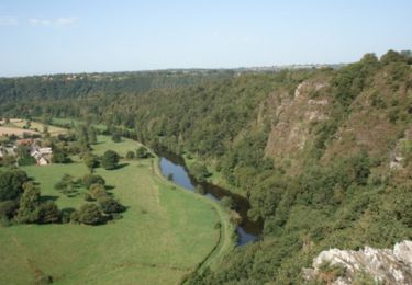
Circuit fait de chemins bocagers vallonnés. Pas de grosse difficulté hormis la montée dans les roches du Ham, quasi impossible les fesses sur la selle, mais cet effort est récompensé par le point de vue exceptionnel arrivé en haut !

V.T.T.
Marche

Marche
Marche
Marche
Cheval
V.T.T.
V.T.T.