


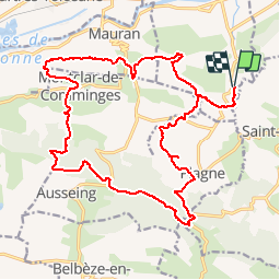

19,5 km | 25 km-effort


Utilisateur


Application GPS de randonnée GRATUITE
 SityTrail
IGN / Instituts géographiques
SityTrail World
Le monde est à vous
Randonnée V.T.T. de 24 km à découvrir à Occitanie, Haute-Garonne, Palaminy. Cette randonnée est proposée par tracegps.
Sur une idée de Fabien, voici un circuit très sauvage et boisé, tout près de la moyenne vallée de la Garonne. 2 points de vue exceptionnels sur la chaine sont atteints par deux raidillons exigeants ; 900 m de montées réalisées en 3 h.
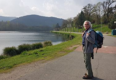
Marche
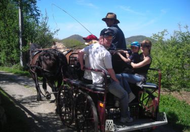
Cheval
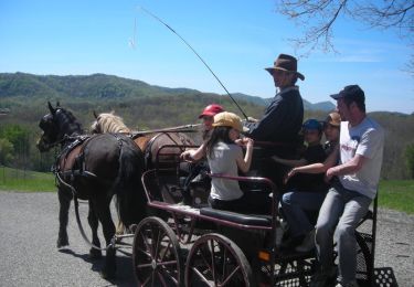
Cheval

Vélo de route
Vélo de route

Marche

Marche
Marche
Pas franchement entretenu