


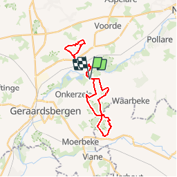

22 km | 26 km-effort


Utilisateur


Application GPS de randonnée GRATUITE
 SityTrail
IGN / Instituts géographiques
SityTrail World
Le monde est à vous
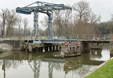
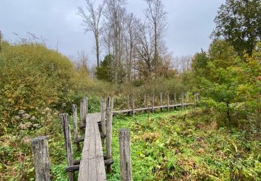
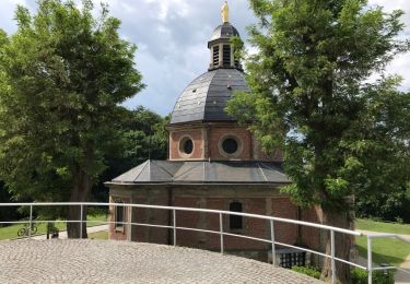
Randonnée Cheval de 23 km à découvrir à Flandre, Flandre orientale, Grammont. Cette randonnée est proposée par Evasaegerman.
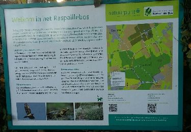
Een flinke ruiterroute met heel wat op en neer, door het prachtige bos.
Voorkeur om te bewandelen in de zomermaanden.
Marche
Marche
Marche
Marche
Marche
Marche
Marche
Vélo électrique

Randonnée équestre