


8 km | 9,2 km-effort

Utilisateur


Application GPS de randonnée GRATUITE
 SityTrail
IGN / Instituts géographiques
SityTrail World
Le monde est à vous
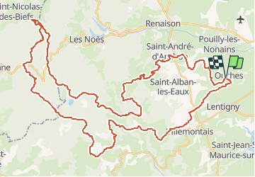
Randonnée V.T.T. de 66 km à découvrir à Auvergne-Rhône-Alpes, Loire, Ouches. Cette randonnée est proposée par tracegps.
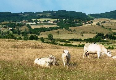
Parking gratuit et départ face à la mairie. "La Ouchoise 2011", organisée par le Club Cyclo Ouchois, s'est déroulée le dimanche 1er mai 2011. ATTENTION : Marathon VTT très exigeant, réservé exclusivement aux pilotes confirmés et endurants ! Le circuit est long, technique et physique ! Départ d'Ouches dans la plaine Roannaise à 324 m pour atteindre la station de ski de La Loge des Gardes à 1100 m. En altitude vous pourrez contempler les nombreux points de vue et si les conditions météo s'y prêtent, observer le Mont Blanc. Mettre l'appareil photo dans le sac à dos. J'ai volontairement modifié légèrement le parcours pour réaliser une trace en une seule boucle et ce afin d'éviter les 3 croisements du circuit réellement tracé par les organisateurs. Topoguides : Randoguide : à travers l'ouest Roannais (CCOR); Randonnée en Côte roannaise (petit St Vincent); Les Monts de la Madeleine (Balades et randonnées à pied et à VTT); Promenades et randonnées en Pays d'Urfé (Canton de Saint-Just-en-Chevalet).
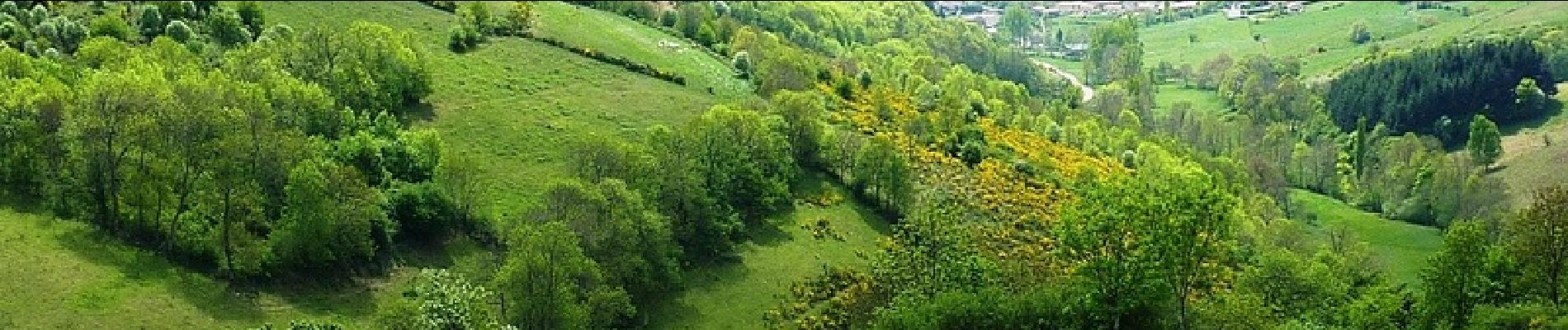
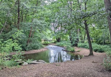
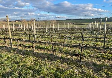
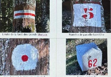
 - Ouches - Photo 1")
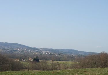
 - Ouches - Photo 2")
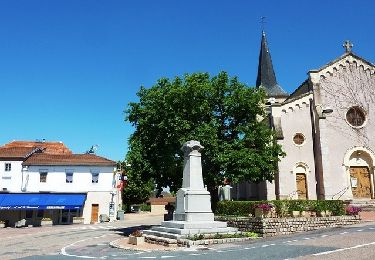
 - Ouches - Photo 3")
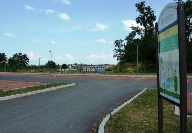
 - Ouches - Photo 4")
 - Ouches - Photo 5")
 - Ouches - Photo 6")
Marche

Marche
Marche
Marche

Marche
Marche
V.T.T.
V.T.T.
V.T.T.