


41 km | 50 km-effort


Utilisateur


Application GPS de randonnée GRATUITE
 SityTrail
IGN / Instituts géographiques
SityTrail World
Le monde est à vous
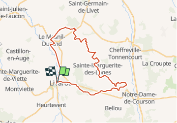
Randonnée V.T.T. de 30 km à découvrir à Normandie, Calvados, Livarot-Pays-d'Auge. Cette randonnée est proposée par tracegps.
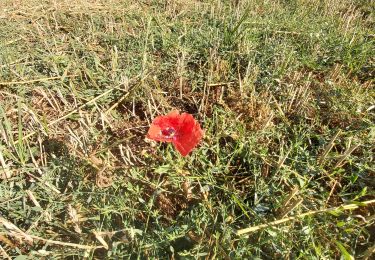
Un parcours assez roulant au début mais qui se corse un peu dans son milieu. Un dénivelé de 485 Mètres tout de même donc réservé aux sportifs, quelques passagse à gué et des parties très grasses du fait de source, alors même l'été, il faudra laver le "Bike" après la sortie. En même temps, c'est la Normandie. Il y a un chemin au milieu du parcours, avec des orties, des ronces et de l'épine noire, alors attention aux crevaisons. Pour les amateurs de vitesse, ce parcours permet de belles pointes de vitesses dans les descentes à plus de 50 Km/H. Bonne randonnée.

V.T.T.

Marche
A pied
A pied
Geocaching
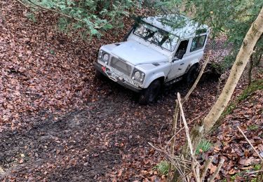
4x4
Marche

Marche