


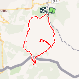

18,8 km | 27 km-effort

Utilisateur


Application GPS de randonnée GRATUITE
 SityTrail
IGN / Instituts géographiques
SityTrail World
Le monde est à vous
Randonnée V.T.T. de 8,6 km à découvrir à Nouvelle-Aquitaine, Pyrénées-Atlantiques, Urrugne. Cette randonnée est proposée par tracegps.
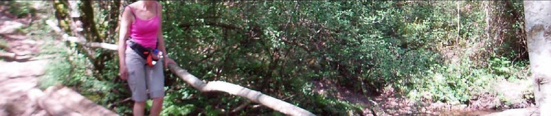
Rando sur bon sentier bien tracé. Les moins sportifs pourront éviter la montée au sommet de la montagne de Ciboure et aller se restaurer dans les ventas Zahar ou Inzola.


Marche

Marche

Marche

Marche

Marche

V.T.T.
Marche
Marche
Marche