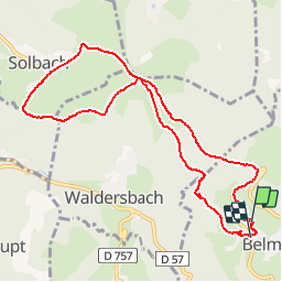


4,6 km | 6,6 km-effort

Utilisateur


Application GPS de randonnée GRATUITE
 SityTrail
IGN / Instituts géographiques
SityTrail World
Le monde est à vous
Randonnée Marche de 9,9 km à découvrir à Grand Est, Bas-Rhin, Belmont. Cette randonnée est proposée par tracegps.
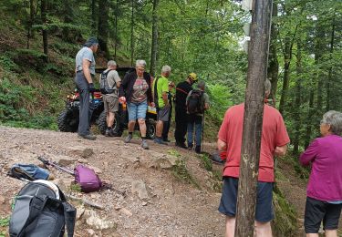
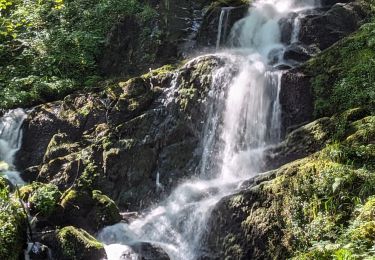
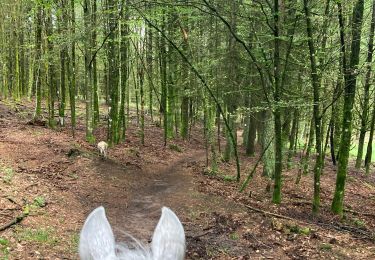
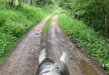
Belle balade facile au cœur de la vallée de la Bruche dans le massif du Champ du Feu. Vue imprenable sur la vallée et traversée de deux charmants villages de montagne.


Marche
Marche
Randonnée équestre
Randonnée équestre
Randonnée équestre

Randonnée équestre
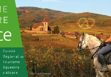
Randonnée équestre

A pied