


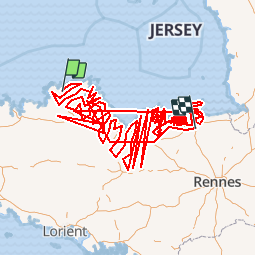

13 km | 15,8 km-effort


Utilisateur


Application GPS de randonnée GRATUITE
 SityTrail
IGN / Instituts géographiques
SityTrail World
Le monde est à vous
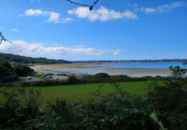
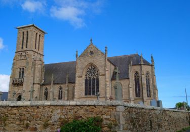
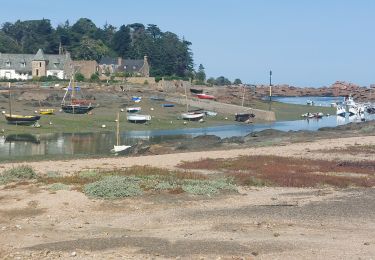
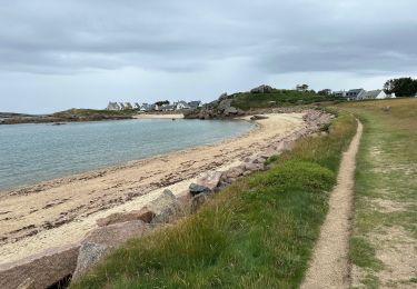
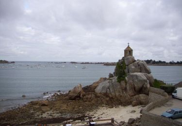
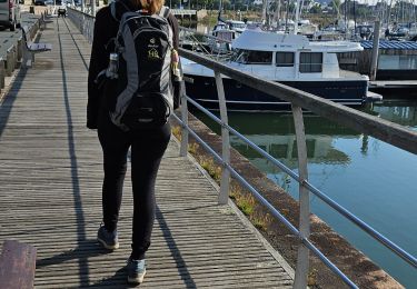
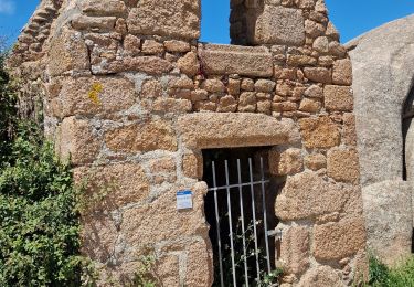
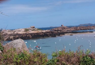
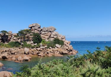
Randonnée Marche de 1374 km à découvrir à Bretagne, Côtes-d'Armor, Kermaria-Sulard. Cette randonnée est proposée par vindju.
Quadrillage
Marche
Marche
Marche
Marche
Marche
Marche
Marche
Marche
Marche