


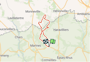


14,3 km | 17,5 km-effort

Utilisateur


Application GPS de randonnée GRATUITE
 SityTrail
IGN / Instituts géographiques
SityTrail World
Le monde est à vous
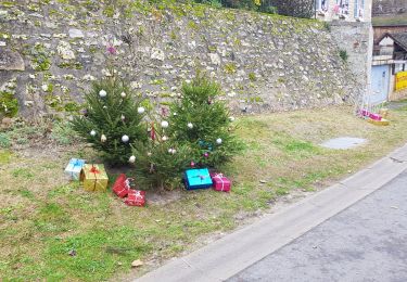
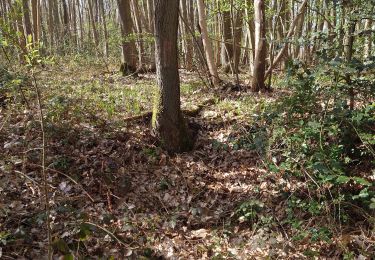
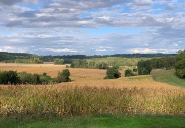
Randonnée Marche de 18,9 km à découvrir à Île-de-France, Val-d'Oise, Bréançon. Cette randonnée est proposée par tracegps.
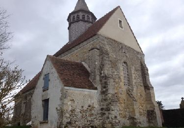
Un circuit dans le Vexin vallonné de 19 Kms pour un dénivelé de 300 m environ. Départ au pied de l'église. Le circuit peut se faire dans un sens ou dans l'autre ...pas d'agglomération à traverser !


Marche

Marche
Marche
Marche
Marche
Marche
Marche
Marche
Marche