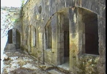
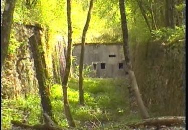
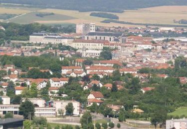
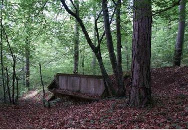
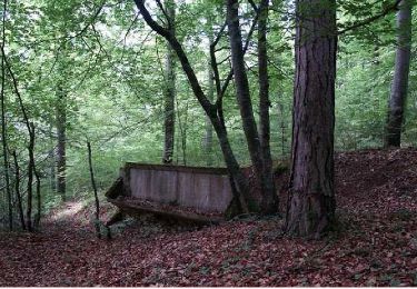
Randonnée V.T.T. Sommedieue - Espace VTT FFC Verdun le Rozelier - Circuit n°05 - Sommedieu - Photo

Espace VTT FFC Verdun le Rozelier - Circuit n°05 - Sommedieu

 tracegps
tracegps

Utilisateur

© OpenStreetMap contributors
Longueur
Longueur
26 km
Altitude max
Altitude max
396 m
Dénivelé positif
Dénivelé positif
540 m
Km-Effort
Km-Effort  
33 km
Altitude min
Altitude min
229 m
Dénivelé négatif
Dénivelé négatif
540 m
Boucle
Boucle
Oui
Date de création :
2014-12-10 00:00:00.0
Dernière modification :
2014-12-10 00:00:00.0

(0 Avis)

V.T.T.
V.T.T.
3h00
Difficulté : Difficile

Scannez ce code QR pour ouvrir la randonnée dans l'application SityTrail

Application GPS de randonnée GRATUITE

Logo SityTrail SityTrail

IGN / Instituts géographiques

Télécharger SityTrail sur l'App Store Télécharger SityTrail sur Google Play

Logo SityTrail SityTrail World

Le monde est à vous

Télécharger SityTrail sur l'App Store Télécharger SityTrail sur Google Play Télécharger SityTrail sur Huawei AppGallery

À propos

Randonnée V.T.T. de 26 km à découvrir à Grand Est, Meuse, Sommedieue. Cette randonnée est proposée par tracegps.

Description

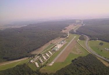
Circuit officiel proposé par l’ Office de Tourisme du Val de Meuse et labellisé par la Fédération Française de Cyclisme dans l’Espace VTT FFC Verdun le Rozelier. Pour d’autres renseignements voir le Club VTT Saint Symphorien, les Loups de Belrupt. Départ de l’aérodrome de Verdun – Le Rozelier.

Profil altimétrique

Photos

Localisation

Pays :
France
Région :
Grand Est
Département/Province :
Meuse
Commune :
Sommedieue
Localité :
Unknown
Départ:(Dec)
Départ:(UTM)
680269 ; 5444122 (31U) N.

Randonnées à proximité

Randonnée V.T.T. Sommedieue - Espace VTT FFC Verdun le Rozelier - Circuit n°07 - Sommedieu - Photo
V.T.T.
tracegps

V.T.T.

Très difficile
(2)
Sommedieue, Grand Est, Meuse, France
35 km | 45 km-effort
4h 0min
Oui
Randonnée Marche Belleray - grottes de la Falouses - Photo
Marche
ghislaine61

Marche

Moyen
(1)
Belleray, Grand Est, Meuse, France
9,7 km | 11 km-effort
2h 25min
Oui
Randonnée Marche Sommedieue - circuit de la Marjolaine - Photo
Marche
lolo55

Marche

Très facile
Sommedieue, Grand Est, Meuse, France
7,6 km | 9 km-effort
1h 58min
Non
Randonnée V.T.T. Belrupt-en-Verdunois - Sentier de St Airy (Petit tour) - Belrupt-en-Verdunois - Photo
V.T.T.
tracegps

V.T.T.

Facile
Belrupt-en-Verdunois, Grand Est, Meuse, France
6,5 km | 8,6 km-effort
30min
Oui
Randonnée Marche Belrupt-en-Verdunois - Sentier de St Airy (Petit tour) - Belrupt-en-Verdunois - Photo
Marche
tracegps

Marche

Facile
Belrupt-en-Verdunois, Grand Est, Meuse, France
6,5 km | 8,6 km-effort
1h 40min
Oui
Randonnée V.T.T. Belrupt-en-Verdunois - Sentier de St Airy (Grand tour) - Belrupt-en-Verdunois - Photo
V.T.T.
tracegps

V.T.T.

Facile
Belrupt-en-Verdunois, Grand Est, Meuse, France
9 km | 11,5 km-effort
1h 0min
Oui
Randonnée Marche Belrupt-en-Verdunois - Sentier de St Airy (Grand tour) - Belrupt-en-Verdunois - Photo
Marche
tracegps

Marche

Moyen
Belrupt-en-Verdunois, Grand Est, Meuse, France
9 km | 11,5 km-effort
2h 15min
Oui
Randonnée V.T.T. Sommedieue - Le Fond du Mal Patu - Sommedieue - Photo
V.T.T.
tracegps

V.T.T.

Facile
Sommedieue, Grand Est, Meuse, France
9,6 km | 12,6 km-effort
1h 0min
Oui
Randonnée Marche Sommedieue - Le Fond du Mal Patu - Sommedieue - Photo
Marche
tracegps

Marche

Moyen
Sommedieue, Grand Est, Meuse, France
9,6 km | 12,6 km-effort
2h 30min
Oui


Fermer
Mes abonnements