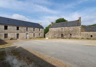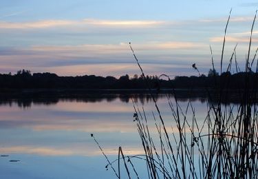

Tro ar Guic - Plougras

tracegps
Utilisateur

Longueur
8,1 km

Altitude max
244 m

Dénivelé positif
120 m

Km-Effort
9,7 km

Altitude min
175 m

Dénivelé négatif
119 m
Boucle
Oui
Date de création :
2014-12-10 00:00:00.0
Dernière modification :
2014-12-10 00:00:00.0
2h00
Difficulté : Moyen

Application GPS de randonnée GRATUITE
À propos
Randonnée Marche de 8,1 km à découvrir à Bretagne, Côtes-d'Armor, Plougras. Cette randonnée est proposée par tracegps.
Description
Circuit proposé par l'Association Henchou Don Lanvaeleg. Départ de l’église de Plougras Circuit entretenu par le «Club Balade» de Plougras.
Localisation
Pays :
France
Région :
Bretagne
Département/Province :
Côtes-d'Armor
Commune :
Plougras
Localité :
Unknown
Départ:(Dec)
Départ:(UTM)
458462 ; 5373268 (30U) N.
Commentaires
Randonnées à proximité

Autour de Plougras, abord de Guerlesquin


Marche
Facile
Plougras,
Bretagne,
Côtes-d'Armor,
France

8,7 km | 10,4 km-effort
2h 5min
Oui

L'Étang du Guic


A pied
Moyen
Guerlesquin,
Bretagne,
Finistère,
France

15,9 km | 20 km-effort
4h 33min
Oui

Eoliennes et étang de Beffou - Plougras


Marche
Moyen
Plougras,
Bretagne,
Côtes-d'Armor,
France

9,3 km | 11 km-effort
2h 19min
Oui

Botshorel Morlaix


A pied
Difficile
Botsorhel,
Bretagne,
Finistère,
France

29 km | 35 km-effort
8h 3min
Non

Etape 5 botsorhelx- morlaix


A pied
Difficile
Botsorhel,
Bretagne,
Finistère,
France

30 km | 36 km-effort
8h 10min
Non

Autour de l''étang du Guic - Guerlesquin


Marche
Moyen
Plougras,
Bretagne,
Côtes-d'Armor,
France

2,8 km | 3,3 km-effort
45min
Oui

De Guerlesquin à la forêt de Beffou


Marche
Très difficile
Guerlesquin,
Bretagne,
Finistère,
France

36 km | 44 km-effort
8h 0min
Oui

Autour de Guerlesquin et l'étang du Guic


Marche
Difficile
Guerlesquin,
Bretagne,
Finistère,
France

22 km | 28 km-effort
4h 45min
Oui

29_guerlesquin_sud_ouest


Marche
Moyen
Guerlesquin,
Bretagne,
Finistère,
France

10,8 km | 13 km-effort
2h 27min
Oui


 SityTrail


