


14,1 km | 21 km-effort

Utilisateur


Application GPS de randonnée GRATUITE
 SityTrail
IGN / Instituts géographiques
SityTrail World
Le monde est à vous
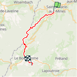
Randonnée Marche de 15,8 km à découvrir à Grand Est, Haut-Rhin, Sainte-Marie-aux-Mines. Cette randonnée est proposée par tracegps.
Beaucoup de dénivelé pour cette étape par la Côte d'Echery, l'Arbre de la Liberté, le Col du Pré de Raves et le Col des Bagenelles.


Marche

Randonnée équestre

Randonnée équestre

Marche
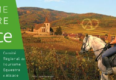
Randonnée équestre

Marche
Marche

Marche

Marche