


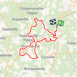

53 km | 66 km-effort


Utilisateur


Application GPS de randonnée GRATUITE
 SityTrail
IGN / Instituts géographiques
SityTrail World
Le monde est à vous
Randonnée V.T.T. de 32 km à découvrir à Normandie, Manche, Martinvast. Cette randonnée est proposée par tracegps.
Très jolie randonnée composée de sentiers de différentes natures aux reliefs divers et variés et offrant de beaux paysages, de quoi allier effort physique et plaisir des yeux ;) Le club "les Haguards" vous invite à venir nous rejoindre tous les dimanches matins à 8h45 dans un rayon de 20 km autour de Cherbourg afin de découvrir de fabuleux sentiers dans une ambiance sportive et conviviale... Pour plus d'infos: leshaguards.com ou sur Facebook Les Haguards. Alors n'hésitez plus et venez voir, je vous fais le pari que vous y prendrez goût!!
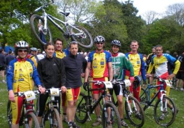
V.T.T.
V.T.T.

V.T.T.
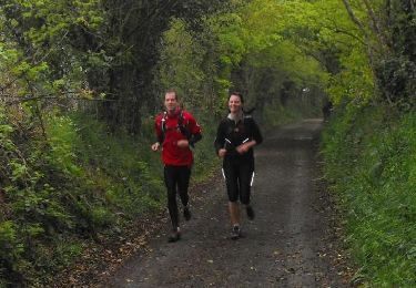
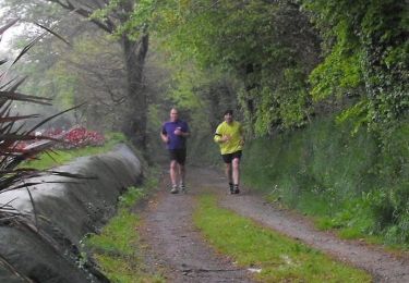
Course à pied
Marche

Marche
Cyclotourisme

V.T.T.