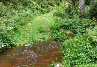
11,3 km | 16,1 km-effort
2018-10-14 Rando CVA Vosges Granges sur Vologne Taintrux
holtzv
Utilisateur GUIDE
Longueur
23 km
Altitude max
721 m
Dénivelé positif
585 m
Km-Effort
31 km
Altitude min
373 m
Dénivelé négatif
812 m
Boucle
Non
Date de création :
2018-10-15 20:47:06.32
Dernière modification :
2018-10-16 11:12:02.195
3h45
Difficulté : Facile
Application GPS de randonnée GRATUITE
À propos
Randonnée Randonnée équestre de 23 km à découvrir à Grand Est, Vosges, Granges-Aumontzey. Cette randonnée est proposée par holtzv.
Localisation
Pays :
France
Région :
Grand Est
Département/Province :
Vosges
Commune :
Granges-Aumontzey
Localité :
Granges-sur-Vologne
Départ:(Dec)
Départ:(UTM)
336262 ; 5335865 (32U) N.
Commentaires
Randonnées à proximité
rehaupal 2 march ettes
Marche
Moyen
(1)
Rehaupal,
Grand Est,
Vosges,
France
10,9 km | 15,7 km-effort
2h 29min
Oui
Champs des roches
Marche
Très facile
Arrentès-de-Corcieux,
Grand Est,
Vosges,
France
7,3 km | 9,5 km-effort
1h 47min
Oui
champdray rehaupal
Vélo électrique
Facile
Champdray,
Grand Est,
Vosges,
France
20 km | 28 km-effort
2h 22min
Oui
chappes-arrentes-barbey seroux
Vélo électrique
Difficile
Granges-Aumontzey,
Grand Est,
Vosges,
France
21 km | 28 km-effort
1h 45min
Oui
granges-Spie mont-pierre sacrifice
Vélo électrique
Très difficile
Granges-Aumontzey,
Grand Est,
Vosges,
France
19,1 km | 25 km-effort
1h 37min
Oui
berchigranges-steniole
Vélo électrique
Très difficile
Granges-Aumontzey,
Grand Est,
Vosges,
France
17,1 km | 23 km-effort
2h 3min
Oui
Acpl la chapelle devant bruyères
Randonnée équestre
Très facile
La Chapelle-devant-Bruyères,
Grand Est,
Vosges,
France
30 km | 40 km-effort
5h 32min
Oui
2016 08 05 régional trou de l'enfer
Marche
Facile
Rehaupal,
Grand Est,
Vosges,
France
9 km | 12,2 km-effort
2h 27min
Oui