

Rando VTT Malansac 2010

tracegps
Utilisateur

Longueur
34 km

Altitude max
95 m

Dénivelé positif
472 m

Km-Effort
40 km

Altitude min
26 m

Dénivelé négatif
472 m
Boucle
Oui
Date de création :
2014-12-10 00:00:00.0
Dernière modification :
2014-12-10 00:00:00.0
3h00
Difficulté : Difficile

Application GPS de randonnée GRATUITE
À propos
Randonnée V.T.T. de 34 km à découvrir à Bretagne, Morbihan, Malansac. Cette randonnée est proposée par tracegps.
Description
Circuit de 37 kilomètres malansac 2010 envoyé par alanri. - Découvrez les dernières vidéos de sport. Plus d'info sur www.alanric-vtt.com
Localisation
Pays :
France
Région :
Bretagne
Département/Province :
Morbihan
Commune :
Malansac
Localité :
Unknown
Départ:(Dec)
Départ:(UTM)
552717 ; 5280528 (30T) N.
Commentaires
Randonnées à proximité
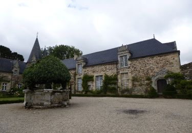
Circuit de Rochefort


A pied
Facile
Rochefort-en-Terre,
Bretagne,
Morbihan,
France

7,5 km | 9,1 km-effort
2h 3min
Oui

Rochefort en terre


Marche
Facile
(1)
Rochefort-en-Terre,
Bretagne,
Morbihan,
France

3,3 km | 4,1 km-effort
1h 25min
Oui

Rochefort en terre


Marche
Facile
(1)
Rochefort-en-Terre,
Bretagne,
Morbihan,
France

14,2 km | 17,7 km-effort
3h 46min
Oui
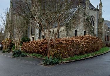
PR_56_Limerzel_AA_01_Circuit1b_Vallee-Du-Trevelo_20231215


Marche
Difficile
Limerzel,
Bretagne,
Morbihan,
France

11,9 km | 14 km-effort
3h 10min
Oui

GRP_Lanvaux_AI_09_Limerzel_Berric_20210528


Marche
Facile
Limerzel,
Bretagne,
Morbihan,
France

21 km | 25 km-effort
5h 18min
Non
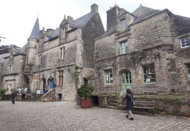
GRP_Lanvaux_AH_08_Rochefort-Terre_Limerzel_20210515


Marche
Facile
Pluherlin,
Bretagne,
Morbihan,
France

13,5 km | 16,3 km-effort
3h 28min
Non
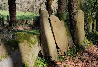
Rochefort en terre


Marche
Moyen
Pluherlin,
Bretagne,
Morbihan,
France

17,5 km | 21 km-effort
4h 1min
Oui

9322323-BACVTT - ASCENSION - REDON


sport
Très facile
(1)
Rochefort-en-Terre,
Bretagne,
Morbihan,
France

69 km | 81 km-effort
Inconnu
Oui
PR_56_Malansac_AA_01_Circuit1b_Des-Ardoisieres_20160619


Marche
Facile
Malansac,
Bretagne,
Morbihan,
France

20 km | 23 km-effort
5h 4min
Oui


 SityTrail


Excellente application, tant sur ses fonctions que sa facilité d’utilisation. Comme toute application utilisant le gps elle est gourmande en batterie.