


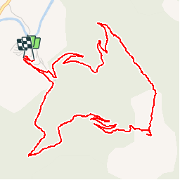


12,4 km | 20 km-effort

Utilisateur


Application GPS de randonnée GRATUITE
 SityTrail
IGN / Instituts géographiques
SityTrail World
Le monde est à vous
Randonnée Marche de 7,9 km à découvrir à Occitanie, Aveyron, Nant. Cette randonnée est proposée par tracegps.
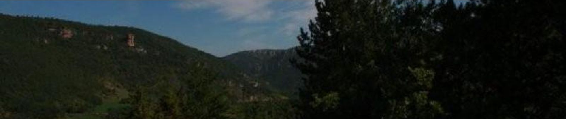
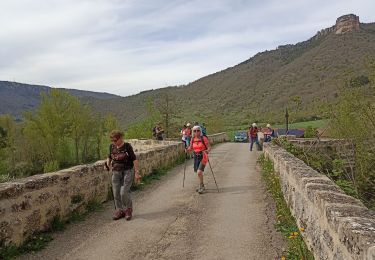
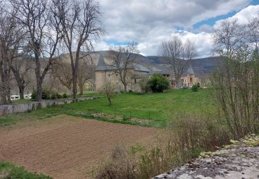
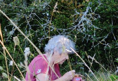
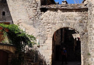
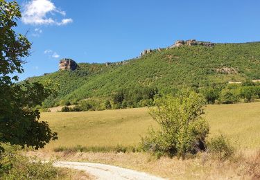
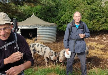
Randonnée au départ du camping Val de Cantobre à travers les bois. Tout au long du trajet, il y a quelques beaux points de vue sur la vallée et sa rivière la Dourbie.


Marche
Marche
Marche

Marche

Course à pied