![](/images/other/stat-length.png)
![Randonnée V.T.T. Saint-Vaast-la-Hougue - Raid VTT Tatihou - Le Mont St Michel - Photo](https://media.geolcdn.com/t/1900/400/ext.pjpeg?maxdim=2&url=https%3A%2F%2Fservices.sitytrail.com%2FGeolivesWS%2FDownloadMedia.ashx%3FTrailID%3D105276%26Media%3D8951_6.jpg)
Raid VTT Tatihou - Le Mont St Michel
tracegps
Utilisateur
![Longueur](/images/other/stat-length.png)
Longueur
313 km
![Altitude max](https://static1.geolcdn.com/siteimages/upload/files/1508320355ic_sort_altitude_max_24dp.png)
Altitude max
217 m
![Dénivelé positif](https://static1.geolcdn.com/siteimages/upload/files/1508320355ic_sort_den_pos_24dp.png)
Dénivelé positif
4199 m
![Km-Effort](/images/other/stat-length.png)
Km-Effort
369 km
![Altitude min](https://static1.geolcdn.com/siteimages/upload/files/1508320355ic_sort_altitude_min_24dp.png)
Altitude min
-1 m
![Dénivelé négatif](https://static1.geolcdn.com/siteimages/upload/files/1508320355ic_sort_den_neg_24dp.png)
Dénivelé négatif
4184 m
![Boucle](https://static1.geolcdn.com/siteimages/upload/files/16400158638029165_repeat_loop_refresh_sync_direction_icon.png)
Boucle
Non
Date de création :
2014-12-10 00:00:00.0
Dernière modification :
2014-12-10 00:00:00.0
![V.T.T.](https://static1.geolcdn.com/sitytour/trail-icons/202.png)
24h00
Difficulté : Difficile
![Scannez ce code QR pour ouvrir la randonnée dans l'application SityTrail](https://capi.geolives.com/qq0zvz2zws4bq2lad0pu/sitytour/trails/105276/qr.png?size=200)
Application GPS de randonnée GRATUITE
À propos
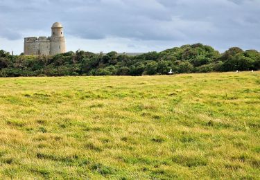
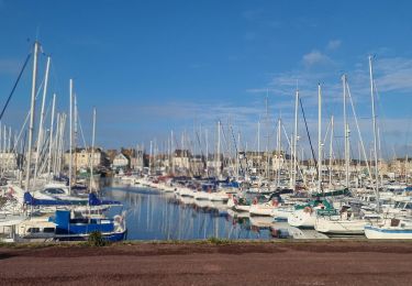
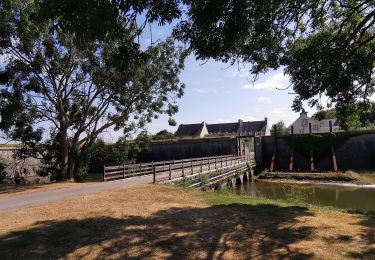
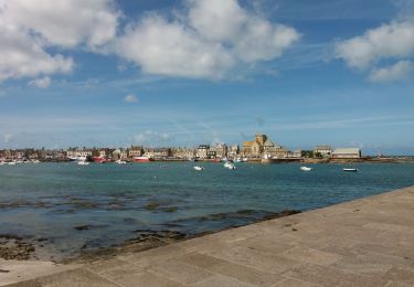
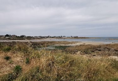
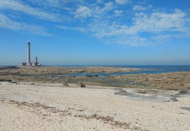
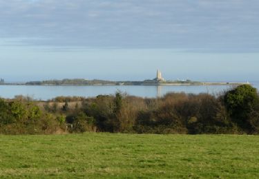
Randonnée V.T.T. de 313 km à découvrir à Normandie, Manche, Saint-Vaast-la-Hougue. Cette randonnée est proposée par tracegps.
Description
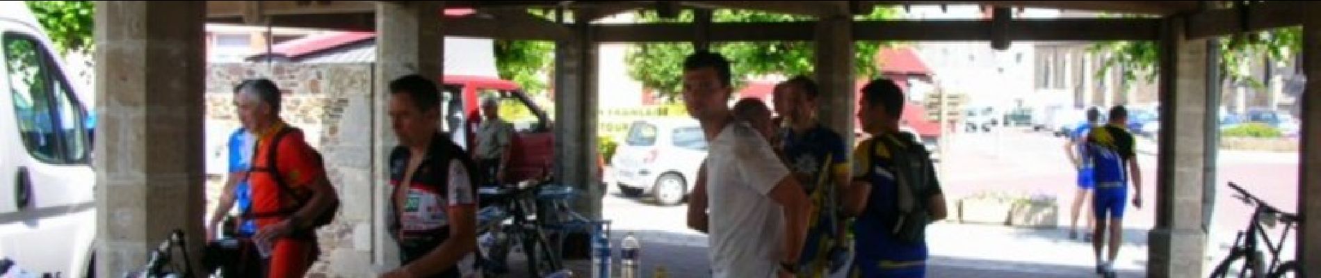
Raid Vtt organisé tous les 2 ans par le Comité Départemental de la Manche (FFCT). Super orga, ravitos sur le parcours copieux. super parcours entièrement balisé. un bon entraînement est nécessaire pour faire les 4 étapes (313km - 4950 m de dénivelé).
Localisation
Pays :
France
Région :
Normandie
Département/Province :
Manche
Commune :
Saint-Vaast-la-Hougue
Localité :
Unknown
Départ:(Dec)
Départ:(UTM)
625311 ; 5494377 (30U) N.
Commentaires
Randonnées à proximité
![Randonnée Marche - Tatihou - Photo](https://media.geolcdn.com/t/375/260/b33c6841-6580-49fd-b2dc-a1bc728f718b.jpg&format=jpg&maxdim=2)
![Marche Marche](https://static1.geolcdn.com/sitytour/trail-icons/101.png)
![Randonnée Marche Quettehou - Morsalines ( Boucle ) - Photo](https://media.geolcdn.com/t/375/260/ext.jpg?maxdim=2&url=https%3A%2F%2Fstatic1.geolcdn.com%2Fsiteimages%2Fupload%2Ffiles%2F1553511878bg_sport_marche.png)
![Marche Marche](https://static1.geolcdn.com/sitytour/trail-icons/101.png)
Morsalines ( Boucle )
Marche
Facile
(1)
Quettehou,
Normandie,
Manche,
France
![](/images/other/stat-length.png)
4,3 km | 5,1 km-effort
1h 15min
![](https://static1.geolcdn.com/siteimages/upload/files/16400158638029165_repeat_loop_refresh_sync_direction_icon.png)
Oui
![Randonnée Marche Saint-Vaast-la-Hougue - St Vaast la Hougue tourisme - Photo](https://media.geolcdn.com/t/375/260/c5c25903-6281-41ae-88bc-e3ab6c85bc1d.jpg&format=jpg&maxdim=2)
![Marche Marche](https://static1.geolcdn.com/sitytour/trail-icons/101.png)
St Vaast la Hougue tourisme
Marche
Très facile
Saint-Vaast-la-Hougue,
Normandie,
Manche,
France
![](/images/other/stat-length.png)
8,3 km | 8,6 km-effort
2h 0min
![](https://static1.geolcdn.com/siteimages/upload/files/16400158638029165_repeat_loop_refresh_sync_direction_icon.png)
Oui
![Randonnée Vélo de route Réville - REVILLE SAINT VAST - Photo](https://media.geolcdn.com/t/375/260/b9c2b503-6b71-49a2-bbe8-a1953831147b.jpg&format=jpg&maxdim=2)
![Vélo de route Vélo de route](https://static1.geolcdn.com/sitytour/trail-icons/201.png)
REVILLE SAINT VAST
Vélo de route
Facile
Réville,
Normandie,
Manche,
France
![](/images/other/stat-length.png)
17,7 km | 18,3 km-effort
2h 40min
![](https://static1.geolcdn.com/siteimages/upload/files/16400158638029165_repeat_loop_refresh_sync_direction_icon.png)
Oui
![Randonnée Vélo électrique Saint-Vaast-la-Hougue - Boucle Saint Vast - Barfleur - Photo](https://media.geolcdn.com/t/375/260/5429a3fa-a41c-4fe9-9830-27becbe923f5.jpg&format=jpg&maxdim=2)
![Vélo électrique Vélo électrique](https://static1.geolcdn.com/sitytour/trail-icons/205.png)
Boucle Saint Vast - Barfleur
Vélo électrique
Facile
Saint-Vaast-la-Hougue,
Normandie,
Manche,
France
![](/images/other/stat-length.png)
33 km | 35 km-effort
2h 18min
![](https://static1.geolcdn.com/siteimages/upload/files/16400158638029165_repeat_loop_refresh_sync_direction_icon.png)
Oui
![Randonnée V.T.C. Réville - Reville barfleur - Photo](https://media.geolcdn.com/t/375/260/47641284-201c-4473-9f29-b4009c71e4f8.jpg&format=jpg&maxdim=2)
![V.T.C. V.T.C.](https://static1.geolcdn.com/sitytour/trail-icons/203.png)
![Randonnée Marche Saint-Vaast-la-Hougue - 29 mai 2021 - Photo](https://media.geolcdn.com/t/375/260/5f458ca3-7e91-4798-84a2-b07239f2f402.jpg&format=jpg&maxdim=2)
![Marche Marche](https://static1.geolcdn.com/sitytour/trail-icons/101.png)
29 mai 2021
Marche
Très facile
Saint-Vaast-la-Hougue,
Normandie,
Manche,
France
![](/images/other/stat-length.png)
19,8 km | 21 km-effort
5h 53min
![](https://static1.geolcdn.com/siteimages/upload/files/16400158638029165_repeat_loop_refresh_sync_direction_icon.png)
Non
![Randonnée V.T.T. Quettehou - Les balcons du Val de Saire - Quettehou - Photo](https://media.geolcdn.com/t/375/260/ext.jpg?maxdim=2&url=https%3A%2F%2Fservices.sitytrail.com%2FGeolivesWS%2FDownloadMedia.ashx%3FTrailID%3D111210%26Media%3D6735_1.jpg)
![V.T.T. V.T.T.](https://static1.geolcdn.com/sitytour/trail-icons/202.png)
Les balcons du Val de Saire - Quettehou
V.T.T.
Moyen
Quettehou,
Normandie,
Manche,
France
![](/images/other/stat-length.png)
27 km | 34 km-effort
4h 0min
![](https://static1.geolcdn.com/siteimages/upload/files/16400158638029165_repeat_loop_refresh_sync_direction_icon.png)
Oui
![Randonnée Marche Saint-Vaast-la-Hougue - Saint.Vaast 2 - Photo](https://media.geolcdn.com/t/375/260/ext.jpg?maxdim=2&url=https%3A%2F%2Fstatic1.geolcdn.com%2Fsiteimages%2Fupload%2Ffiles%2F1553511878bg_sport_marche.png)
![Marche Marche](https://static1.geolcdn.com/sitytour/trail-icons/101.png)
Saint.Vaast 2
Marche
Moyen
Saint-Vaast-la-Hougue,
Normandie,
Manche,
France
![](/images/other/stat-length.png)
4,3 km | 4,5 km-effort
54min
![](https://static1.geolcdn.com/siteimages/upload/files/16400158638029165_repeat_loop_refresh_sync_direction_icon.png)
Oui