


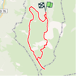

11 km | 16,7 km-effort


Utilisateur


Application GPS de randonnée GRATUITE
 SityTrail
IGN / Instituts géographiques
SityTrail World
Le monde est à vous
Randonnée Marche de 9,1 km à découvrir à Occitanie, Haute-Garonne, Cazeaux-de-Larboust. Cette randonnée est proposée par tracegps.
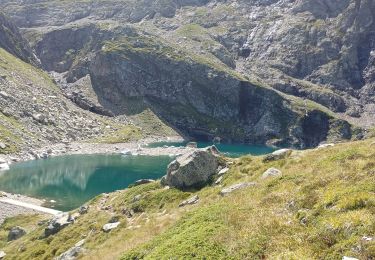
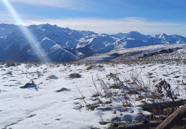
Départ: après les Granges de Labach continuer sur la piste jusqu'à la prise d'eau. Randonnée dans deux vallons peu (ou pas) fréquentés ! Du sommet de Coum de Bourg on peut, en continuant, pleine crête, aller jusqu'au Pic du Céciré (compter 30 à 40 mn A/R).

V.T.T.
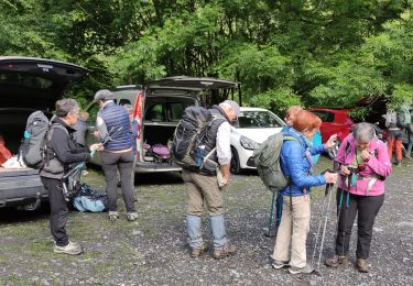
Marche

Marche

A pied

Marche
Marche
Marche
Marche
Marche