


17,1 km | 27 km-effort

Utilisateur


Application GPS de randonnée GRATUITE
 SityTrail
IGN / Instituts géographiques
SityTrail World
Le monde est à vous
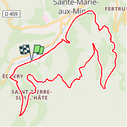
Randonnée V.T.T. de 12,5 km à découvrir à Grand Est, Haut-Rhin, Sainte-Marie-aux-Mines. Cette randonnée est proposée par tracegps.
Espace VTT FFC Val d'Argent - Circuit n°17 - Les Mines d’Argent Circuit officiel labellisé par la Fédération Française de Cyclisme. Départ : Camping Les Reflets du Val d'Argent. Praticable en toute saison et offrant plusieurs points de vue panoramiques, ce parcours vous charmera aussi par son intérêt architectural avec notamment la traversée d’Echery et de St-Pierre-sur-l’Hâte. Il vous mènera à quelques tours de roue de la Maison de Pays et de mines d’argent dont certaines sont ouvertes aux visites. Un grand classique s’il en est un.


Marche

Marche

Randonnée équestre

Randonnée équestre

Marche
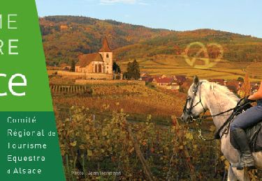
Randonnée équestre

A pied

Marche
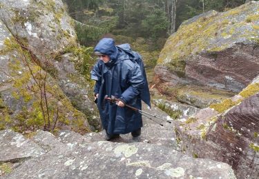
Marche