


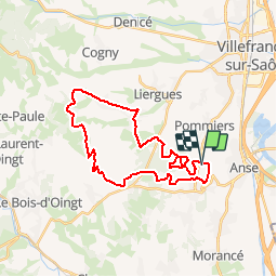

6,8 km | 8,4 km-effort


Utilisateur


Application GPS de randonnée GRATUITE
 SityTrail
IGN / Instituts géographiques
SityTrail World
Le monde est à vous
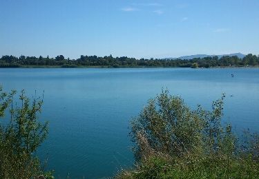
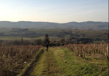
Randonnée V.T.T. de 29 km à découvrir à Auvergne-Rhône-Alpes, Rhône, Anse. Cette randonnée est proposée par tracegps.
Beau parcours bien équilibré passant par la Voie du Tacot dans le Beaujolais pour cette première édition. Accueil et organisation de bon niveau, rdv l'année prochaine!


Marche nordique

Marche

Randonnée équestre
Marche
Marche
Marche
Marche