


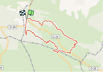

14,5 km | 20 km-effort


Utilisateur


Application GPS de randonnée GRATUITE
 SityTrail
IGN / Instituts géographiques
SityTrail World
Le monde est à vous
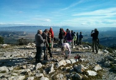
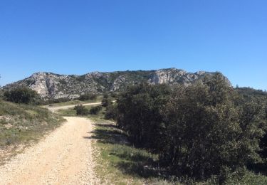
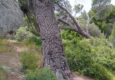
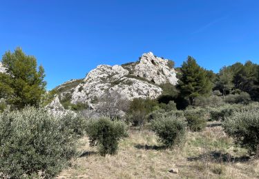
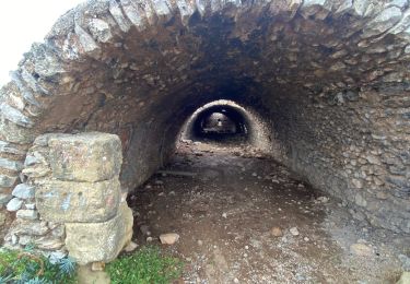
Randonnée Marche de 8,7 km à découvrir à Provence-Alpes-Côte d'Azur, Bouches-du-Rhône, Eygalières. Cette randonnée est proposée par Bredu.
Départ : carrefour D24/D25 - suivre le Chemin forestier du Gros Calan - revenir par la Chemin du Mas de Pascal.
Marche

Marche
Marche
Marche
Marche
Marche
Marche
Marche
Marche