


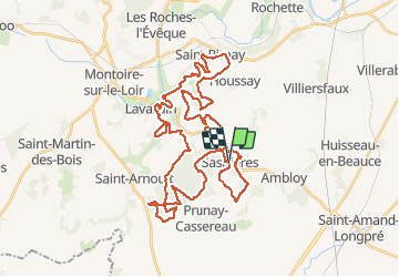

26 km | 31 km-effort


Utilisateur


Application GPS de randonnée GRATUITE
 SityTrail
IGN / Instituts géographiques
SityTrail World
Le monde est à vous
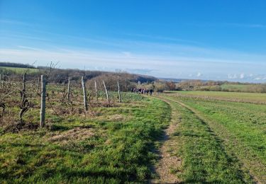
Randonnée V.T.T. de 47 km à découvrir à Centre-Val de Loire, Loir-et-Cher, Sasnières. Cette randonnée est proposée par tracegps.
11ème Raid des 3 Vallées

Marche
Marche
Marche
Marche
Marche

Marche

Marche
Marche

Marche