


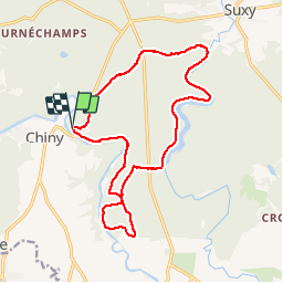


19,9 km | 25 km-effort


Utilisateur


Application GPS de randonnée GRATUITE
 SityTrail
IGN / Instituts géographiques
SityTrail World
Le monde est à vous
Randonnée Cheval de 15,9 km à découvrir à Wallonie, Luxembourg, Chiny. Cette randonnée est proposée par alfreson.
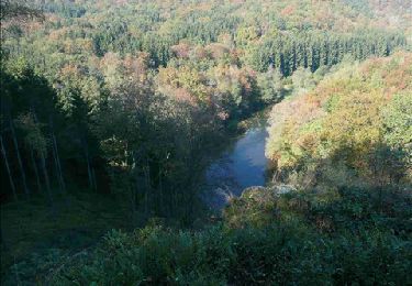
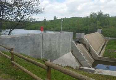
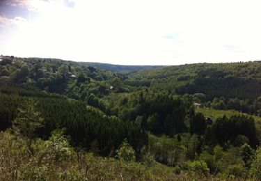
Magnifique promenade pour aller voir l barrage de la Vierre et retour par les bois de feuillus. Les grandes allées sont un peu caillouteuses par endroit, la forêt est parfaite et permet de beaux galops.


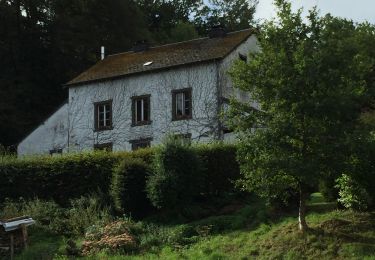
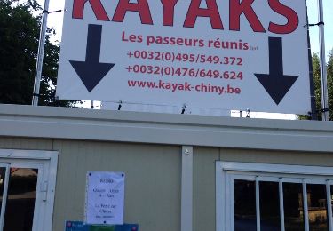
24 photos au total. Cliquez sur une photo pour les afficher toutes dans la galerie.
Marche

Marche

Marche
Marche
Marche
Marche
Marche

Marche
A pied