


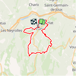

7,6 km | 9,6 km-effort

Utilisateur


Application GPS de randonnée GRATUITE
 SityTrail
IGN / Instituts géographiques
SityTrail World
Le monde est à vous
Randonnée V.T.T. de 28 km à découvrir à Auvergne-Rhône-Alpes, Ain, Le Poizat-Lalleyriat. Cette randonnée est proposée par tracegps.
Espace VTT - FFC du Bugey - circuit n° 08. Circuit labellisé par la Fédération Française de Cyclisme. Au cœur du département de l'Ain, sur les terres du Haut-Bugey, le Plateau d'Hauteville offre une situation privilégiée. Ce Plateau de moyenne montagne offre une qualité de vie véritablement exceptionnelle, l'air pur, la nature généreuse, les bienfaits climatiques, les paysages variés, la végétation préservée étonnent... Les grandes agglomérations de Lyon, Genève, Annecy, Aix-les-Bains, Bourg-en-Bresse et Chambéry sont à une heure !


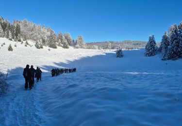
Raquettes à neige

Marche
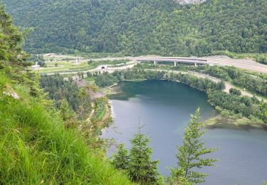
Marche
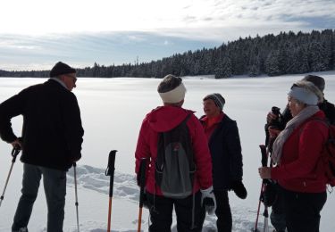
Raquettes à neige
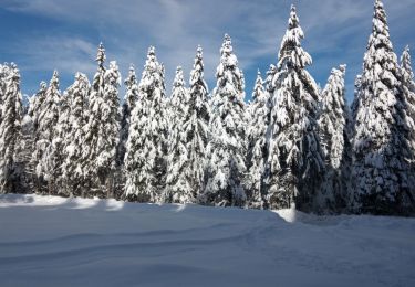
Raquettes à neige
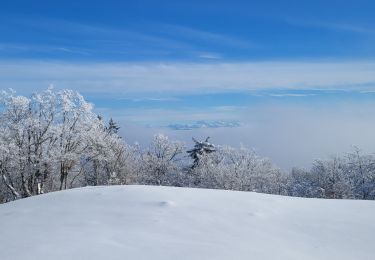
Raquettes à neige
Marche
Marche
Marche