


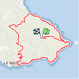

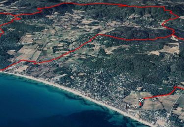
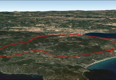
13,2 km | 15,6 km-effort


Utilisateur GUIDE


Application GPS de randonnée GRATUITE
 SityTrail
IGN / Instituts géographiques
SityTrail World
Le monde est à vous
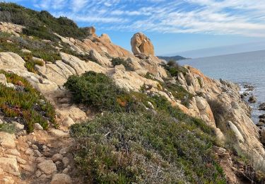
Randonnée Marche de 6,5 km à découvrir à Provence-Alpes-Côte d'Azur, Var, Ramatuelle. Cette randonnée est proposée par lhomme.ph.
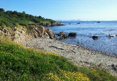
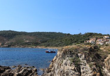
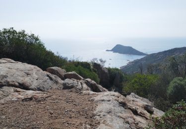
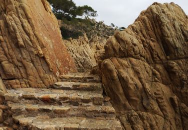
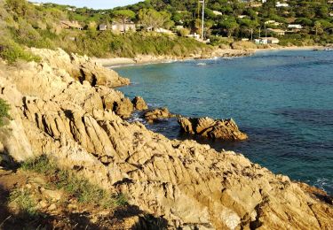
Une balade tout en senteurs et en couleurs, entre falaises et mer, avec un contraste saisissant entre l'exubérance de la végétation et la nudité minérale du cap.
Marche

V.T.T.
Marche
Marche
Vélo électrique
Marche
Marche
V.T.T.
Marche