

Boucle 8 - Pont du Chatel

tracegps
Utilisateur

Longueur
7,2 km

Altitude max
63 m

Dénivelé positif
117 m

Km-Effort
8,8 km

Altitude min
8 m

Dénivelé négatif
117 m
Boucle
Oui
Date de création :
2014-12-10 00:00:00.0
Dernière modification :
2014-12-10 00:00:00.0
2h00
Difficulté : Facile

Application GPS de randonnée GRATUITE
À propos
Randonnée Marche de 7,2 km à découvrir à Bretagne, Finistère, Plouider. Cette randonnée est proposée par tracegps.
Description
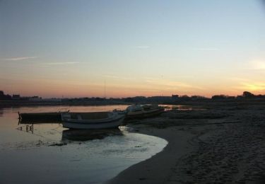
Depuis le départ de Pont du Chatel , une balade enchanteresque dans la vallée de la Flêche au plus près de l'eau, à éviter toutefois en hiver lors de grosse précipitation , respecter la faune sauvage : héron , fouines, saumons.
Localisation
Pays :
France
Région :
Bretagne
Département/Province :
Finistère
Commune :
Plouider
Localité :
Unknown
Départ:(Dec)
Départ:(UTM)
406043 ; 5383491 (30U) N.
Commentaires
Randonnées à proximité
de Goulven à St Michel


Cyclotourisme
Moyen
Tréflez,
Bretagne,
Finistère,
France

44 km | 49 km-effort
4h 36min
Non
st méen


Marche nordique
Très facile
Saint-Méen,
Bretagne,
Finistère,
France

14,9 km | 17,2 km-effort
2h 57min
Oui

Poul Sant Dider


A pied
Facile
Plouider,
Bretagne,
Finistère,
France

6,3 km | 7,4 km-effort
1h 41min
Oui
rando Bretagne 22/09/2020


Marche
Très facile
Tréflez,
Bretagne,
Finistère,
France

9,2 km | 9,8 km-effort
2h 31min
Oui

La maison des dunes de Kerrema


Marche
Facile
Tréflez,
Bretagne,
Finistère,
France

3,6 km | 3,8 km-effort
1h 10min
Oui

22A - Goulven / Plabennec


Vélo
Très difficile
Goulven,
Bretagne,
Finistère,
France

57 km | 62 km-effort
3h 28min
Non

22A - Goulven / Plouguerneau


Vélo
Très difficile
Goulven,
Bretagne,
Finistère,
France

51 km | 56 km-effort
3h 44min
Non
GR 34® de Goulven à Guissény


Marche
Difficile
Goulven,
Bretagne,
Finistère,
France

28 km | 30 km-effort
5h 30min
Non


 SityTrail


