


23 km | 28 km-effort


Utilisateur


Application GPS de randonnée GRATUITE
 SityTrail
IGN / Instituts géographiques
SityTrail World
Le monde est à vous
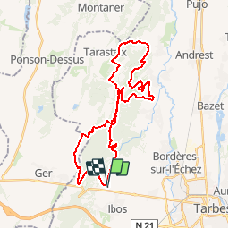
Randonnée V.T.T. de 37 km à découvrir à Occitanie, Hautes-Pyrénées, Ibos. Cette randonnée est proposée par tracegps.
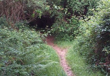
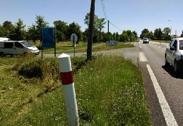
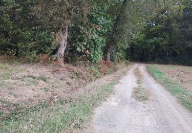
Circuit dans les Bois du Commandeur et de Bordères sur Echez avec quelques jolies descentes en monotrace. Passage près de l'abbaye de l'Espérance. Attention en hiver le terrain est très boueux.
Marche
Marche

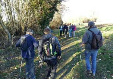
Marche nordique
Marche nordique
Marche
Marche nordique
Marche
V.T.T.

Marche