


23 km | 30 km-effort


Utilisateur


Application GPS de randonnée GRATUITE
 SityTrail
IGN / Instituts géographiques
SityTrail World
Le monde est à vous
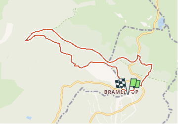
Randonnée V.T.T. de 9,7 km à découvrir à Occitanie, Aveyron, Prades-d'Aubrac. Cette randonnée est proposée par tracegps.
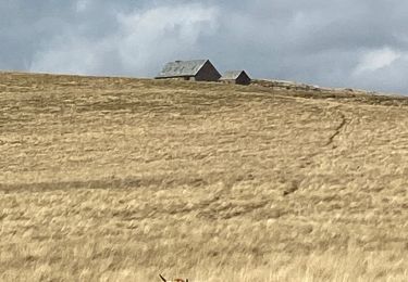
Site VTT FFC Aubrac – Vallée du Lot - Circuit n°2 - La Forêt d’Aubrac. Circuit officiel labellisé par la Fédération Française de Cyclisme. Comme le circuit n°1 mais plus long et plus technique. Circuit fermé du 01 septembre au 31 mars (période de chasse). Renseignements : Office du Tourisme de St-Geniez-d'Olt - 4 Rue Cours - 12130 St-Geniez-d'Olt : 05 65 70 43 42.


Marche
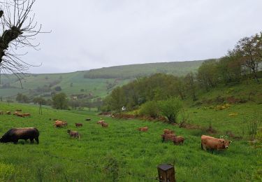
Marche

Marche

Marche
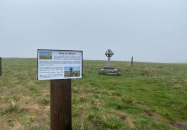
Marche
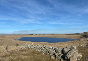
Marche
Marche
Marche