


11,4 km | 15,2 km-effort


Utilisateur


Application GPS de randonnée GRATUITE
 SityTrail
IGN / Instituts géographiques
SityTrail World
Le monde est à vous
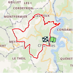
Randonnée Marche de 19,1 km à découvrir à Auvergne-Rhône-Alpes, Loire, Chambles. Cette randonnée est proposée par tracegps.
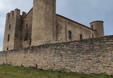
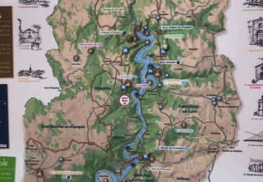
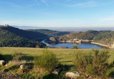
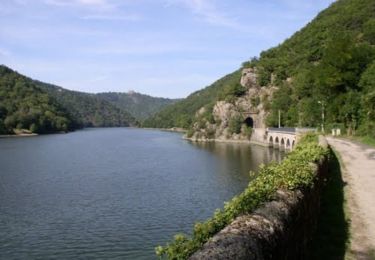
Située au milieu des gorges de la Loire, sur la rive gauche du fleuve, la commune de Chambles est un des sites les plus connus et attirants du département. Ce petit bourg a su préserver son caractère féodal qui lui donne toute son originalité. Surplombant les gorges de la Loire, le village de Chambles jouit d'une situation géographique remarquable et d'un panorama exceptionnel. Chambles est constitué de nombreux hameaux où se côtoient exploitations agricoles et résidences principales de citadins à la recherche d'air pur et d'espace. (source Wikipedia)
Marche
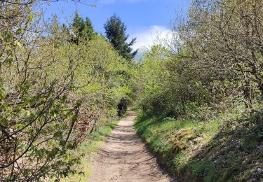
Marche
Marche

Marche
Marche
Marche
Cheval
Marche

Cheval