


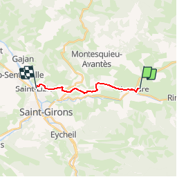

13,7 km | 21 km-effort

Utilisateur


Application GPS de randonnée GRATUITE
 SityTrail
IGN / Instituts géographiques
SityTrail World
Le monde est à vous
Randonnée V.T.T. de 10,5 km à découvrir à Occitanie, Ariège, Lescure. Cette randonnée est proposée par tracegps.
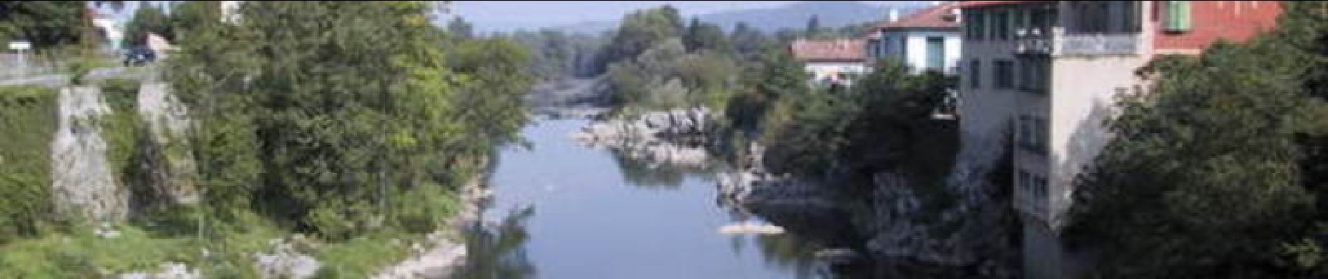
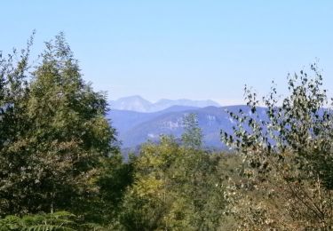
Grande Traversée VTT Ariège Pyrénées - Étape 11 - Lescure - St Lizier. Circuit labellisé par la Fédération Française de Cyclisme. Une courte étape facile dans le Couserans, sans trop de dénivelé mais peu de plat. Agence de Développement Touristique d'Ariège Pyrénées Route de Ganac – BP 30143 – 09004 Foix Cedex Tél : 05 61 02 30 70/fax : 05 61 65 17 34


Marche
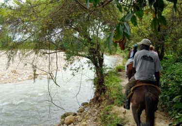
Cheval
Cheval

Marche
Marche
V.T.C.

A pied
Marche