


34 km | 44 km-effort

Utilisateur


Application GPS de randonnée GRATUITE
 SityTrail
IGN / Instituts géographiques
SityTrail World
Le monde est à vous
Randonnée V.T.T. de 17,9 km à découvrir à Occitanie, Ariège, Pamiers. Cette randonnée est proposée par tracegps.
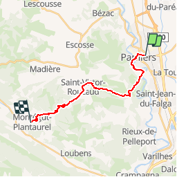
Grande Traversée VTT Ariège Pyrénées - Étape 8 - Pamiers - Montégut Plantaurel. Circuit labellisé par la Fédération Française de Cyclisme. Après 3,5 km de plat le long de l’Ariège, on retrouve un peu d’altitude que l’on reperd aussitôt avant d’attaquer une nouvelle montée vers Moulat puis Montégut Plantaurel. Agence de Développement Touristique d'Ariège Pyrénées Route de Ganac – BP 30143 – 09004 Foix Cedex Tél : 05 61 02 30 70/fax : 05 61 65 17 34


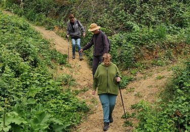
Marche
Marche

Marche

Cheval
Cheval
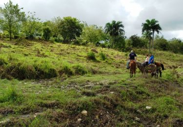
Cheval

Marche

Autre activité