


12,1 km | 15,9 km-effort


Utilisateur


Application GPS de randonnée GRATUITE
 SityTrail
IGN / Instituts géographiques
SityTrail World
Le monde est à vous
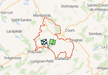
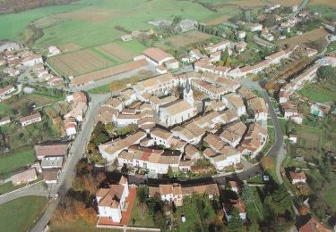
Randonnée V.T.T. de 36 km à découvrir à Nouvelle-Aquitaine, Lot-et-Garonne, Prayssas. Cette randonnée est proposée par tracegps.
Espace VTT FFC Randonnée entre Lot et Garonne - Circuit n°14 - Cœur de Pays. Circuit officiel labellisé par la Fédération Française de Cyclisme. Départ du Lac de Néguenou. L'espace randonnée VTT prend naissance dans la vallée du Lot et s'étend jusque sur les coteaux du "Pays de Serres". Ce circuit très difficile vous fera découvrir et aimer à coup sûr ce territoire, véritable écrin de verdure, ancré dans l'histoire.


Marche
A pied
Marche

V.T.T.
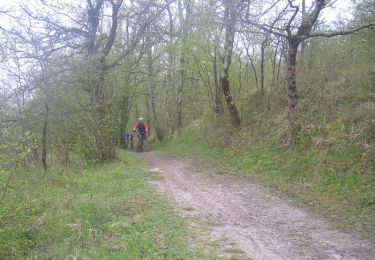
V.T.T.

Cheval

V.T.T.
Marche
V.T.T.