


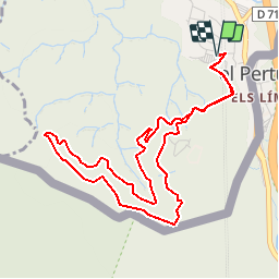

9,4 km | 12,8 km-effort


Utilisateur


Application GPS de randonnée GRATUITE
 SityTrail
IGN / Instituts géographiques
SityTrail World
Le monde est à vous
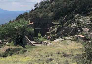
Randonnée Marche de 5,7 km à découvrir à Occitanie, Pyrénées-Orientales, Le Perthus. Cette randonnée est proposée par nandaf.
Accès: Depuis Perpignan, gagner le Pertus par la D900.
Se garer au parking P2 (indiqué dans le village).
Balisage: PR (jaune)et GR (jaune et rouge)

Marche

Marche

Marche
Marche

Marche
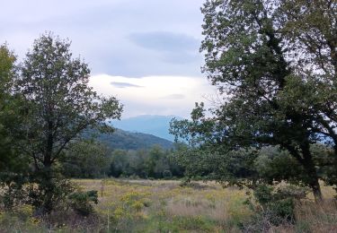
Marche
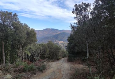
Marche
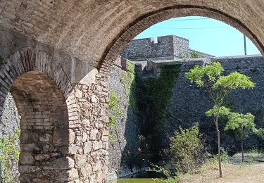
Marche
Marche