


12,3 km | 16,8 km-effort


Utilisateur


Application GPS de randonnée GRATUITE
 SityTrail
IGN / Instituts géographiques
SityTrail World
Le monde est à vous
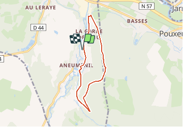
Randonnée V.T.T. de 5,6 km à découvrir à Grand Est, Vosges, Arches. Cette randonnée est proposée par tracegps.
Espace VTT FFC Chemins du Cœur des Vosges - circuit n°32 - La Blanche Pierre Circuit officiel labellisé par la Fédération Française de Cyclisme. Parcours très facile vers la Côte de Vrupt et retour par le Bois de Rebaumont.


Marche

Marche
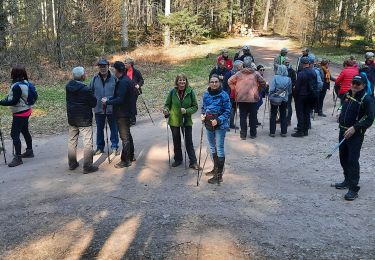
Marche

A pied
A pied
Marche