


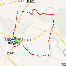

14,7 km | 19,4 km-effort


Utilisateur


Application GPS de randonnée GRATUITE
 SityTrail
IGN / Instituts géographiques
SityTrail World
Le monde est à vous
Randonnée Marche de 4,9 km à découvrir à Occitanie, Gard, Tresques. Cette randonnée est proposée par tracegps.
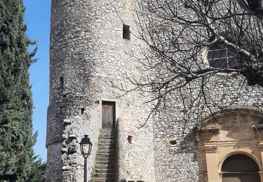
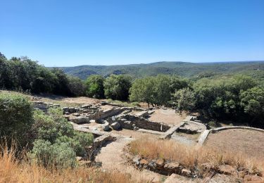
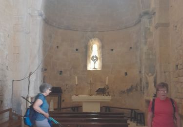
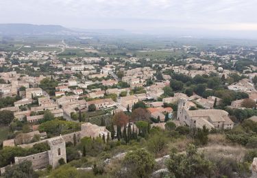
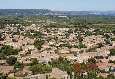
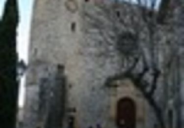
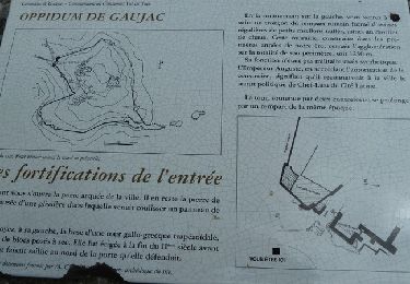
Située non loin de Bagnols-sur-Ceze, Tresques est une commune essentiellement agricole, tournée plus particulièrement vers la viticulture. Les sites archéologiques sont nombreux qui datent de la préhistoire ou de l'antiquité. (source Le Gard Provençal)
Marche
Marche
Marche
Marche
Marche
Marche

Marche
Marche
parfait pour l'hiver!