


8,5 km | 10,6 km-effort

Utilisateur


Application GPS de randonnée GRATUITE
 SityTrail
IGN / Instituts géographiques
SityTrail World
Le monde est à vous
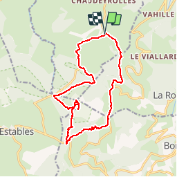
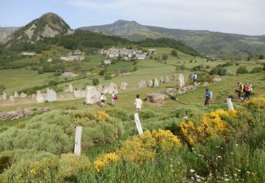
Randonnée Marche de 16,7 km à découvrir à Auvergne-Rhône-Alpes, Haute-Loire, Chaudeyrolles. Cette randonnée est proposée par tracegps.
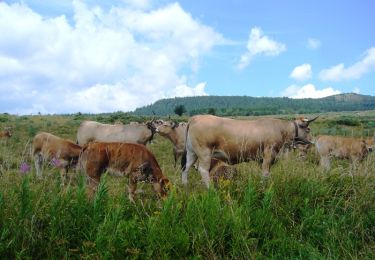
Randonnée à faire de préférence en Juillet pour la beauté des floraisons. Le mont Mézenc, d'origine volcanique, culmine à 1 754 m d'altitude. Il est situé sur la même ligne de crête que le mont Gerbier de Jonc, entre Velay et Vivarais dans le massif du Mézenc au sein du Massif central. Il est constitué de deux sommets distants d'un demi kilomètre. Le sommet Sud est le plus élevé à 1 754 mètres d'altitude, il est situé dans le département de l'Ardèche. Le sommet Nord est surmonté d'une croix et culmine pour sa part à 1 749 mètres d'altitude. Il s'agit du point culminant du département de la Haute-Loire. (source Wikipédia)


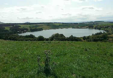
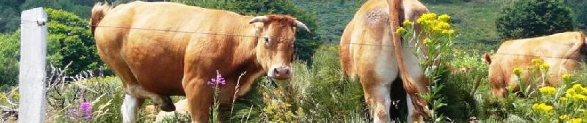
Marche
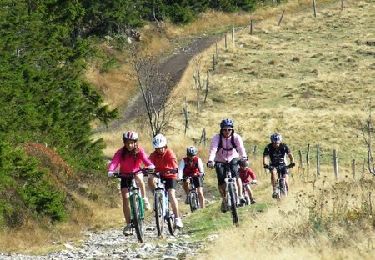
V.T.T.
V.T.T.
Marche

Marche

Vélo

Marche
Marche
Marche