


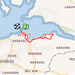

9,7 km | 10,8 km-effort


Utilisateur


Application GPS de randonnée GRATUITE
 SityTrail
IGN / Instituts géographiques
SityTrail World
Le monde est à vous
Randonnée Marche de 4,1 km à découvrir à Bretagne, Finistère, Landéda. Cette randonnée est proposée par tracegps.
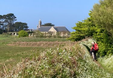
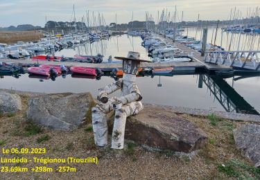
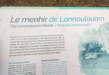
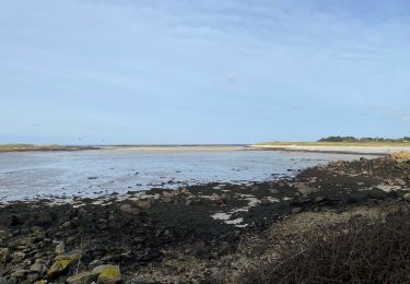
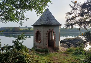
Randonnée pédestre au départ du centre UCPA , pour longer une partie de l'Aber par les petits sentiers du littoral. Retour au milieu des fougères. Panorama très celtique.
Marche
Marche
Marche
Marche
Cyclotourisme
Marche

A pied
Marche
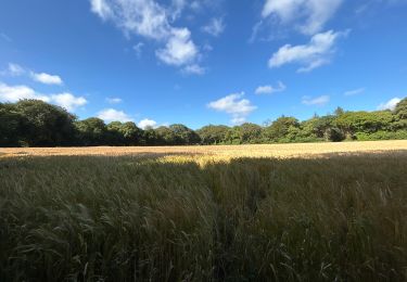

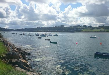
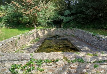
une bonne synthèse des Abers : port, sous bois, campagne et mer.