


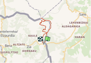


6,7 km | 9,7 km-effort


Utilisateur


Application GPS de randonnée GRATUITE
 SityTrail
IGN / Instituts géographiques
SityTrail World
Le monde est à vous
Randonnée Marche de 10,1 km à découvrir à Navarre, Inconnu, Bera. Cette randonnée est proposée par georgein.
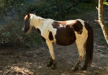
Belle randonnée pour atteindre le sommet de la Rhune, en longeant les palombières, par le versant Sud en évitant la foule et le petit train à crémaillère.

Marche

Marche

Marche
Marche
Marche
Marche
Marche
Marche
Marche